Almost exactly ten years ago, NASA’s models showed Hurricane Katrina approaching the coast of Louisiana. At the time, most models had a resolution of 50km. Today it’s down to just a little over six kilometres.
Yes, our satellites have changed dramatically since 2005 (along with the rest of our world), as NASA points out in a fascinating post today. But not only has the resolution been bumped up exponentially by new satellites, but the computers we use to analyse that data has also gotten more powerful. Meanwhile, NASA has launched multiple programs to study how hurricanes become weaker (or stronger) over time, the results of which further sharpen the accuracy of our weather models.
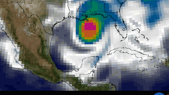
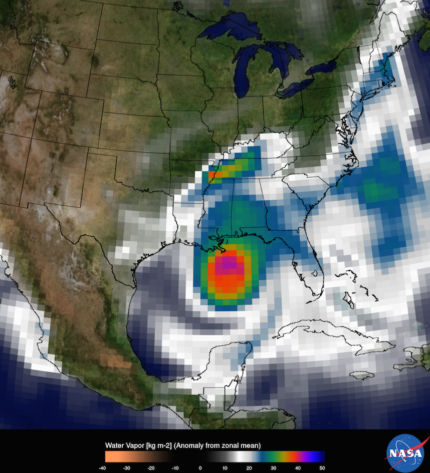
So just how much more high-def are our predictions today? To demonstrate, NASA has done a side-by-side comparison of the some of the data we had in 2005, versus 2015. Take this comparison of the water vapour. The first image shows Katrina at a resolution of 50km, versus a model generated by NASA’s current Goddard Earth Observing System mode, resolution 6.25km:
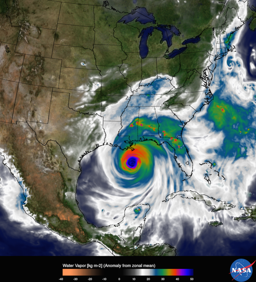
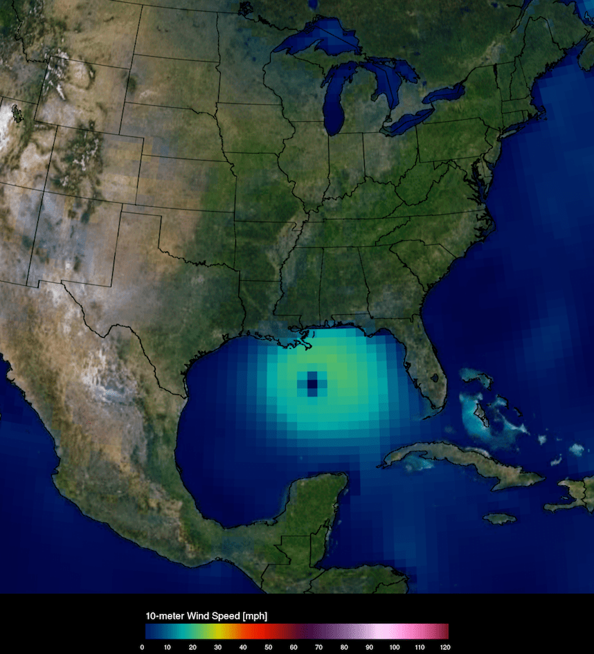
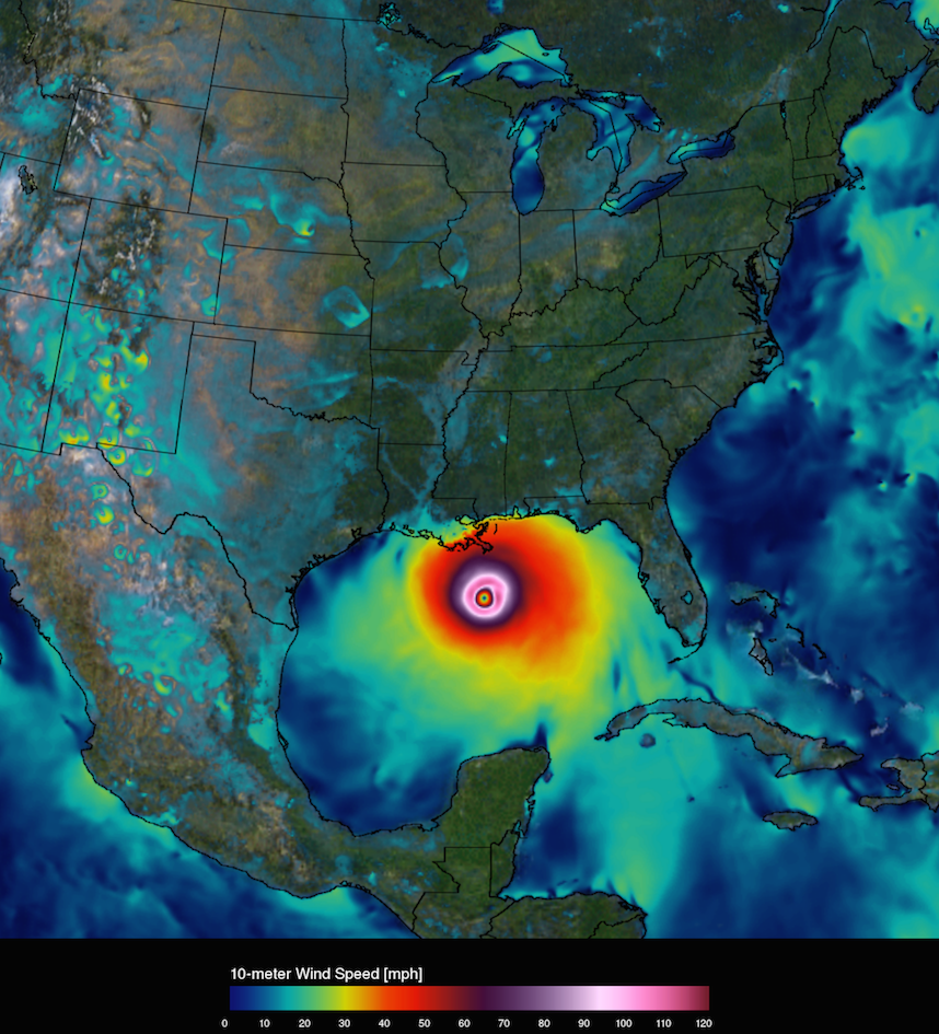
And here’s a similar comparison of wind speeds:
Again, it’s not just about the hardware up in orbit. It’s about the processing power behind the satellites, and the supercomputer the agency uses to analyse it. Keep in mind — these satellites are sending back millions of pieces of data every day.
Recording so much data is one thing. Turning it into usable models and predictions that entire regions depend on? That’s quite another. Back in 2010, NASA announced a major upgrade to the models it uses to process weather data, under a new title: the Center for Climate Simulation. At the time NASA said it must parse eight million observations every day (a number that has surely gone up in the five years since), and to do it, it introduced a supercomputer called Discover capable of showing a weather model at a resolution of just 3.5km.
As of this winter, the supercomputer has more than 45,000 processor cores and runs at 1.995 petaflops, NASA says.
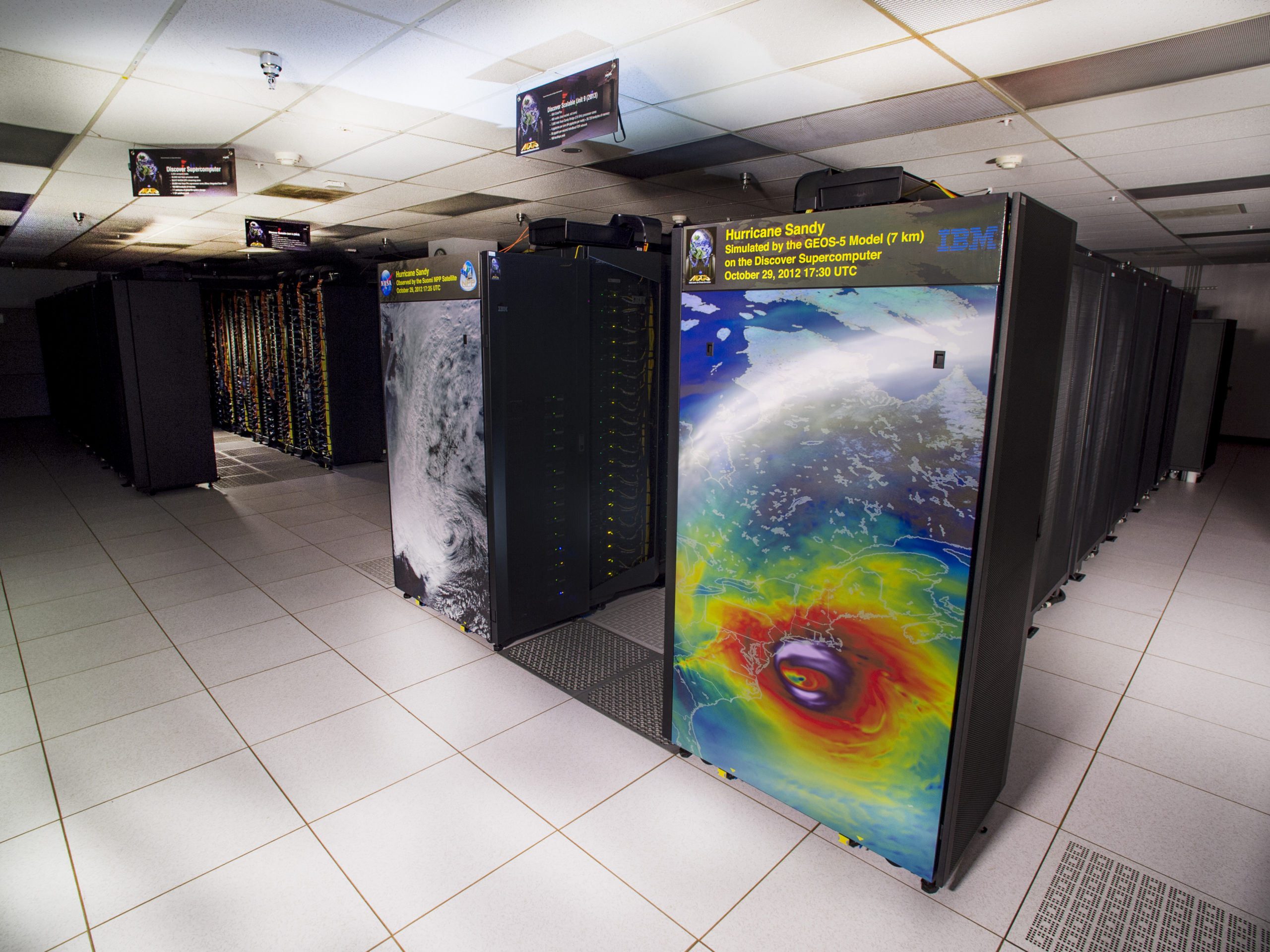
NASA/Goddard/Bill Hrybyk.
Right now, Hurricane Danny is brewing in the Atlantic, with others surely to come. The exponential sharpening of NASA’s models and new observations about hurricane behaviour are contributing the data points to predict where it will land. And it will be interesting to see, over the next ten years, how much sharper the resolution on our storm science can get.