Look At These Images From The First Public High-Res Imaging Satellite

Look At These Images From The First Public High-Res Imaging Satellite

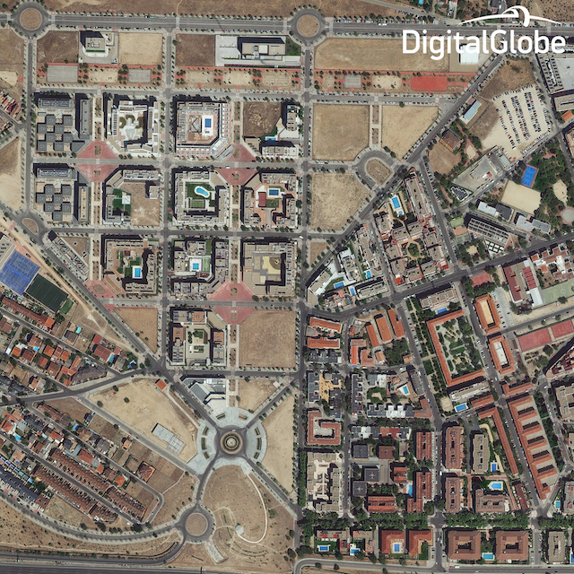
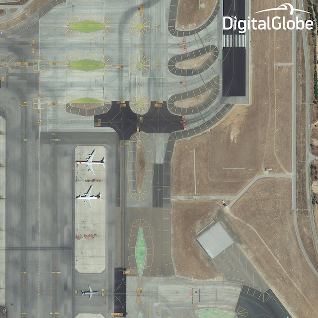
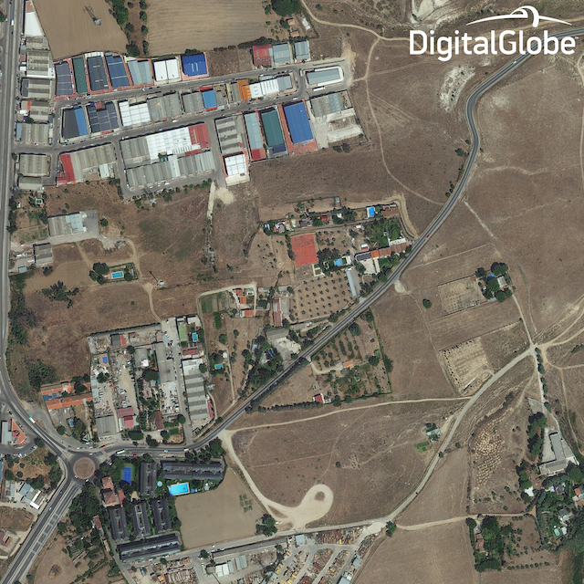
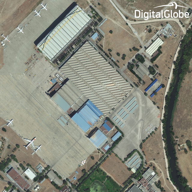
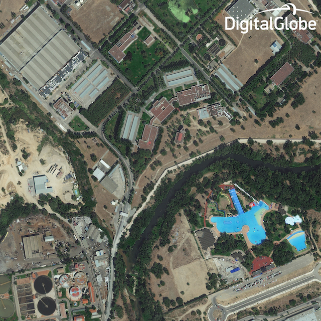
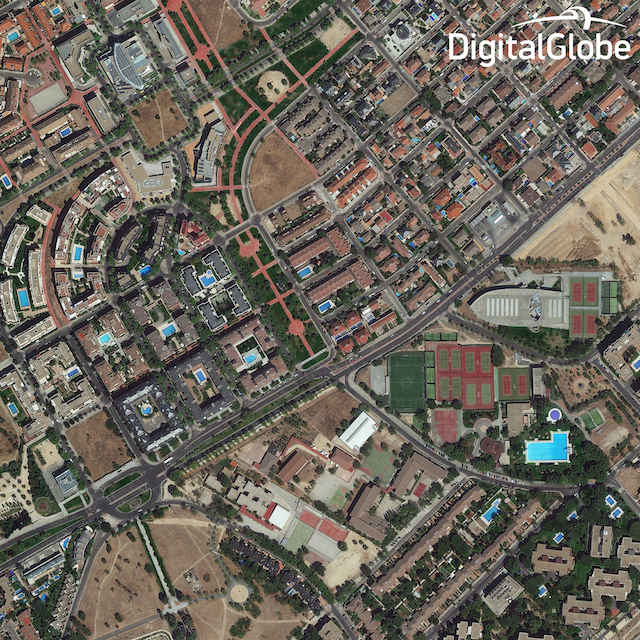
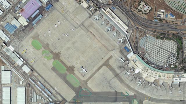
DigitalGlobe’s WorldView-3 — set to double the resolution of Google Maps as the first public high-res imaging satellite in space — launched earlier this month. Now, here are the first images to be beamed back to Earth.

The satellite has been snapping images of Madrid, and now DigitalGlobe has released them for us to take a look at. They’re impressive, and you can download the full images here. Bu they don’t show the true potential of the satellite: as Digital Globe points out “because of the regulatory restrictions, we can’t yet display the 30 cm native resolution data, so we’re sharing imagery resampled to 40 cm.” Which, wow. We can’t wait until February, when those regulations are relaxed. [Digital Globe via Engadget via Peta Pixel]

Look At These Images From The First Public High-Res Imaging Satellite

The Cheapest NBN 50 Plans

It’s the most popular NBN speed in Australia for a reason. Here are the cheapest plans available.

At Gizmodo, we independently select and write about stuff we love and think you'll like too. We have affiliate and advertising partnerships, which means we may collect a share of sales or other compensation from the links on this page. BTW – prices are accurate and items in stock at the time of posting.