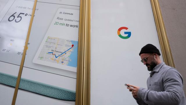
Folks, I’ve got some great news if you’re a driver and some bad news if you’re a cop: Google has confirmed it’s rolling out the ability to see speed and mobile cameras, as well as speed limits, in more than 40 countries in Maps.
The company confirmed the news to TechCrunch after reports of international rollouts surfaced on Reddit in recent weeks. Google Maps began displaying the alerts to some users back in January, and in March, reports for speed traps began seeing a wider rollout.
Now, it looks like the company is committing to the features that were not previously available in all of Google’s international markets. (As TechCrunch noted, a lack of formal communication around the rollouts created some confusion about where they were applicable.)
They’re neat features, if the Google-owned navigation app Waze is any indication, the tech giant may see some pushback from law enforcement. Earlier this year, CBS New York obtained a cease and desist letter sent by the NYPD to Google over Waze alerts for DWI checkpoints.
That letter, which can be read in full here, claimed that sharing information about the checkpoints with the app’s users “is irresponsible since it only serves to aid impaired and intoxicated drivers to evade checkpoints and encourage reckless driving.”
At the time, a Google spokesperson told Gizmodo in a statement that the company “believe[s] that informing drivers about upcoming speed traps allows them to be more careful and make safer decisions when they’re on the road.” And it looks like Google is now making those alerts accessible to its wider users on iOS and Android. According to TechCrunch, Google uses both “authoritative feeds” in addition to user reports for its alerts.
The speed trap alerts join other features that have rolled out to Google Maps in recent months. Back in October, the company also introduced features to better help commuters plan their trips with real-time updates for public transit and traffic.
