It’s always a good time to get up close and personal with Mars.
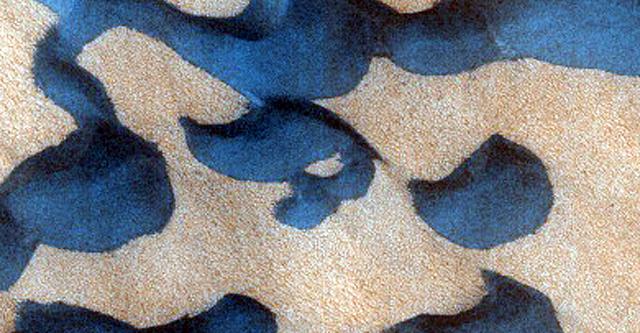
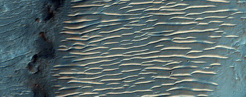
Gullies in Dunes Dubbed Kolhar. Photo credit: NASA/JPL/University of Arizona
Browse through the cool photos, animations and diagrams in Gizmodo’s Image Cache here.
NASA’s Mars Reconnaissance Orbiter (MRO) has been sending data back from our planetary neighbour since 2005, when it was launched to look for signs of water on Mars. While that objective may be getting more difficult by the day, the MRO has still been sending back some amazing high-resolution photographs from the surface that will facilitate the process of mapping the planet.
This month, the orbiter sent back a staggering number of images: Over 1000. According to the Smithsonian, they’re especially great for a few reasons, besides the fact that they’re images taken from space.
While scientists are receiving data monthly, there is a special time that allows them to receive large packets. Every 26 months, Mars is in website, along with all the photos that have been received from Mars. In total, there are over 44,000 images.
Here are some highlights but they’re all pretty spectacular.
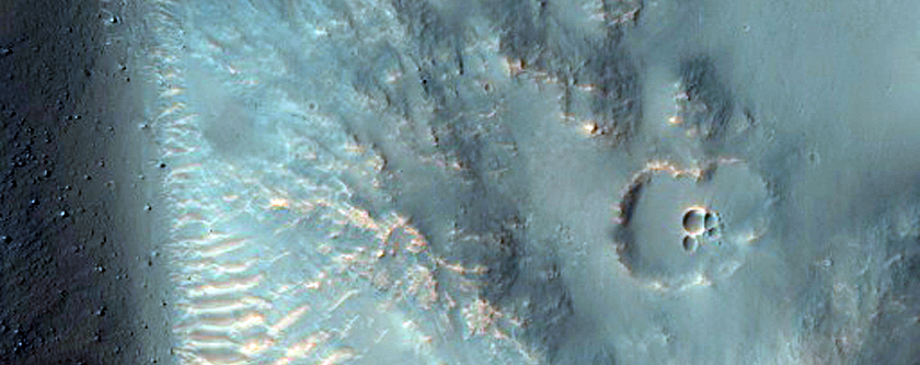
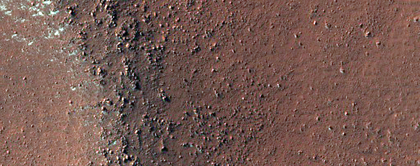
Crater in Hesperia Planum. Photo credit: NASA/JPL/University of Arizona
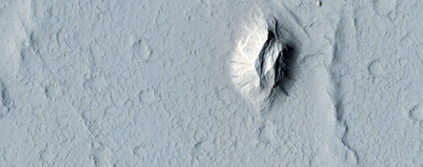
Depression with Terraced Margins Northwest of Nicholson Crater. Photo credit: NASA/JPL/University of Arizona
Landforms at West End of Her Desher Vallis. Photo credit: NASA/JPL/University of Arizona
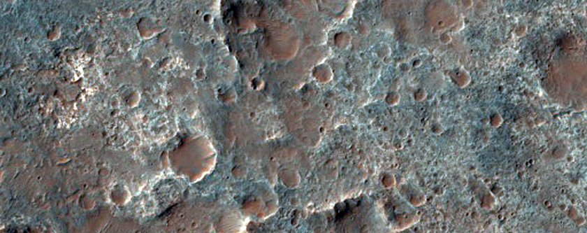
Craters in Terra Sirenum. Photo credit: NASA/JPL/University of Arizona
Valley with Flows in Noachis Terra. Photo credit: NASA/JPL/University of Arizona