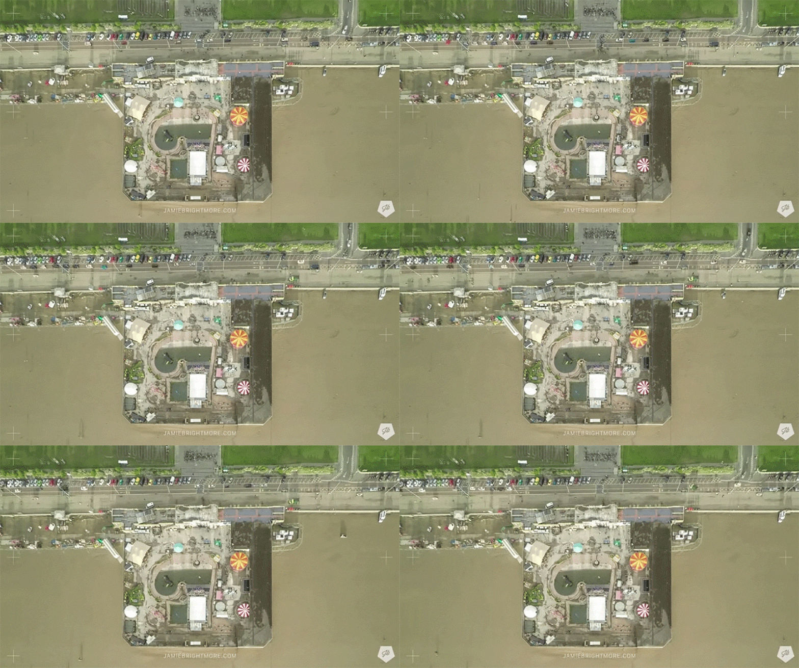
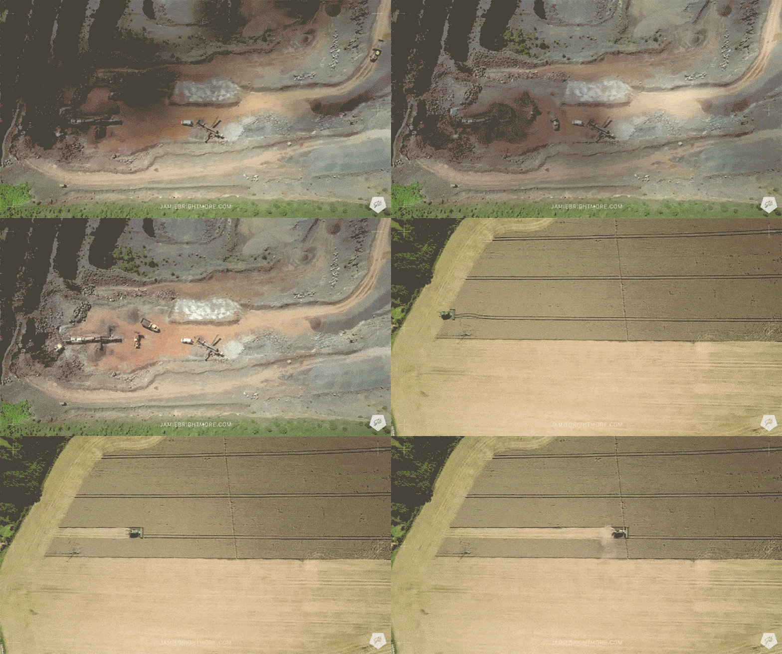
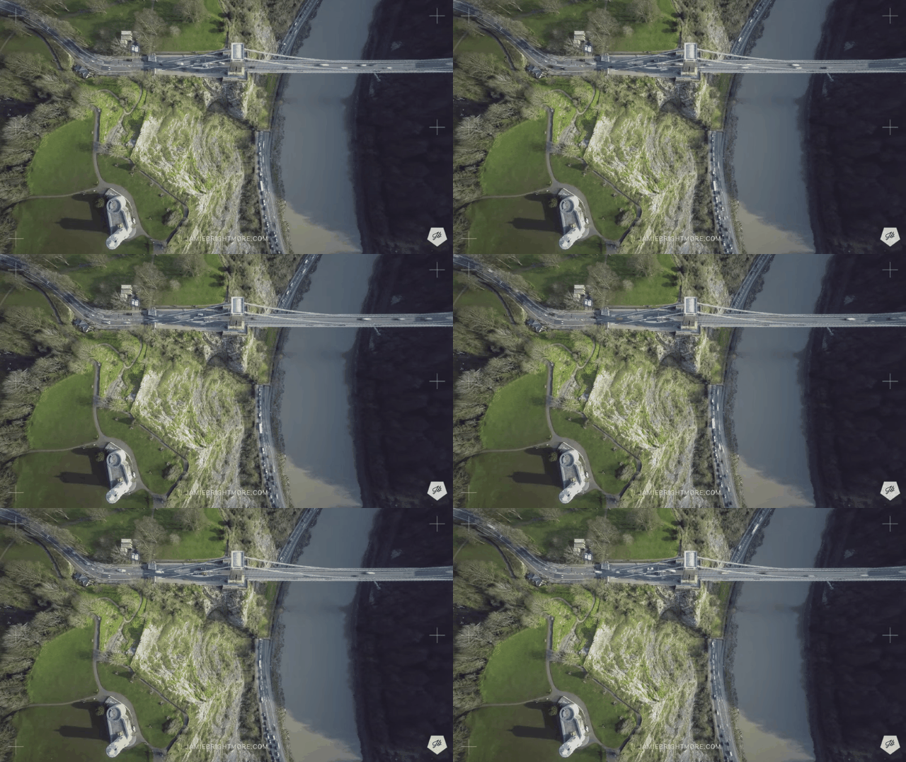
Most of us have grown jaded to the lovely high-res video that drones deliver these days, which is so ubiquitous that it’s being used to recruit pledges to Greek life. Here’s something to restore your sense of wonder.
A British photographer named developing a new technique called Satlapse to shoot timelapse footage that, at first glance, appears to be taken from a satellite in orbit. In fact, Brightmore used a drone (a DJI Phantom 2) hovering about 122m above the subject, snapping hundreds of still shots (using a GoPro Hero 4) over about ten minutes and matching them to create each video.

A new video shows the results of his experiments, which really do look like incredibly high-res satellite imagery:
The resolution of satellite imaging is getting incredibly fine-grained — just a couple of months ago, we got to witness the first HD video shot from orbit. But despite the exponential increase in our imaging tech, it still can’t beat a determined photographer equipped with a quadcopter.

