You can plan ahead all you want, but a vacation is often at the mercy of the weather wherever you’re travelling to. And that inspired designer Camilla Hempleman to create a special map, printed with thermochromatic ink, that changes colour to reveal the best places to visit based on the local weather.
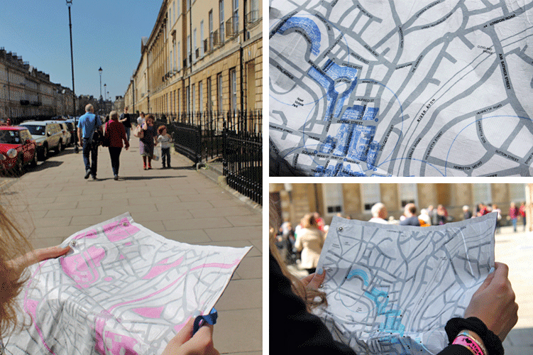
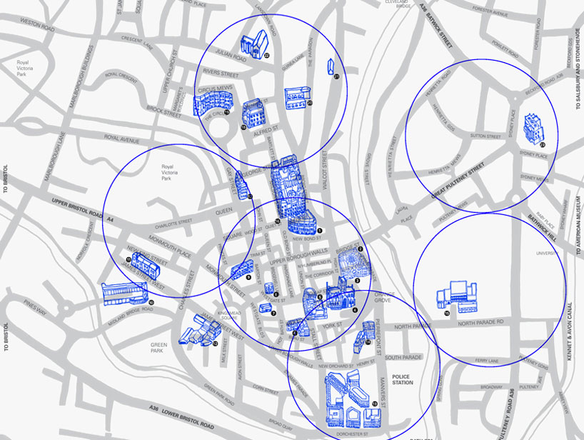
The BATH °C Thermo Colour Map is printed on a waterproof fabric known as Tyvek, which is most often used in construction to weatherproof buildings but can also be found in clothing and wallets. The inks used to print all of the map’s details (in this case Camilla’s home town of Bath, England) react to both water and temperature and only appear to highlight certain attractions based on the temperature outside, or whether it’s currently raining.
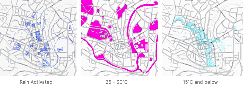
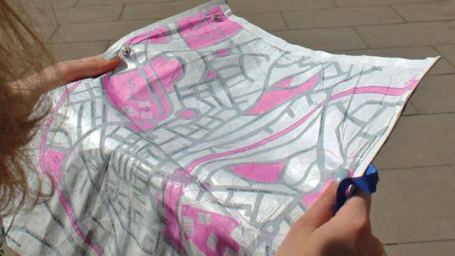
So if it’s soaking wet outside, the map will highlight indoor attractions like museums, churches, or galleries to keep tourists out of the downpour. And when it’s hot outside, parks and gardens will instead be featured so that visitors can enjoy the city’s outdoor space. Because it’s a physical printed map, it’s not dependent on batteries, or a reliable GPS or data signal, to function. It also won’t malfunction if used in the rain, and it can be crumpled up and stuffed in a pocket when not in use.
At this time Camilla’s BATH °C Thermo Colour Map appears to be only just a concept, but the technology behind it isn’t. And perhaps one day, with special ink cartridges, you (or your parents, more likely) might even be able to print your own colour-changing maps at home.
[Camilla Hempleman via designboom]