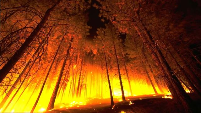
In September, Google told us it was going to be using Australia as a launch location to rollout a ‘wildfire’ layer to Maps. And today, Google has tweaked the name to ‘bushfire’ and made this feature available ahead of Aussie summer, synonymous with ‘fire season’.
According to Google, the new bushfire layer on Google Maps will help Aussies access prompt and official bushfire information more easily and quickly.
Essentially, this feature gathers all of Google’s bushfire information together and adds it to Maps as a ‘layer’. The idea, unveiled at Search On, is to have up-to-date details about multiple fires at once.

To turn on, tap the layers symbol on Maps and then on the ‘Bushfires’ icon to see important info about active fires. To look into details on a particular bushfire, tap on a fire on the map to see the latest updates, location, level of severity, recommended actions and other important information.
“When it comes to an issue as serious and as complex as bushfires, we know that the best solutions often come from those that are on ground and closest to the needs of communities. That’s why partnerships with local fire agencies, WWF Australia and the University of Queensland are pivotal to our work in this area,” Google says.
“Whether we’re delivering crisis alerts or aiding in wildlife recovery, our goal is to find the right combination of in-field expertise, scientific knowledge and technology to help Australians get trusted information when it matters most.”