
UNESCO World Heritage Sites are the planet’s most iconic places and include sites from the natural and built world. But a new report from the group shows that a small but vital number of forests that have received a UNESCO designation are being irrevocably altered by human activities.
The degradation means that they’ve turned from carbon sinks into carbon sources, throwing the planet’s climate budget out of balance. The report, released on Thursday ahead of major United Nations climate talks that begin next week in Glasgow, highlights the role forests play in protecting the climate. The 257 UNESCO World Heritage Sites contain 170 million acres of forest cover, an area the report notes is twice the size of Germany.
Together, these areas pull 190 million tonnes of carbon dioxide out of the atmosphere every year, which helps mitigate the excess carbon pollution from burning fossil fuels. But the report is a warning; just because the natural world is doing us a huge favour doesn’t mean it will continue to do so.
While 166 UNESCO World Heritage Sites are still storing away carbon and another 81 are basically neutral locations that neither emit nor store carbon, the report shows 10 sites have turned into emitters over the past decade. The reason? Humans are messing them up, whether because climate change is contributing to more intense fires or deforestation is weakening ecosystems. Take a tour of the world’s most stunning and imperiled forests.
Tropical Rainforest Heritage of Sumatra, Indonesia
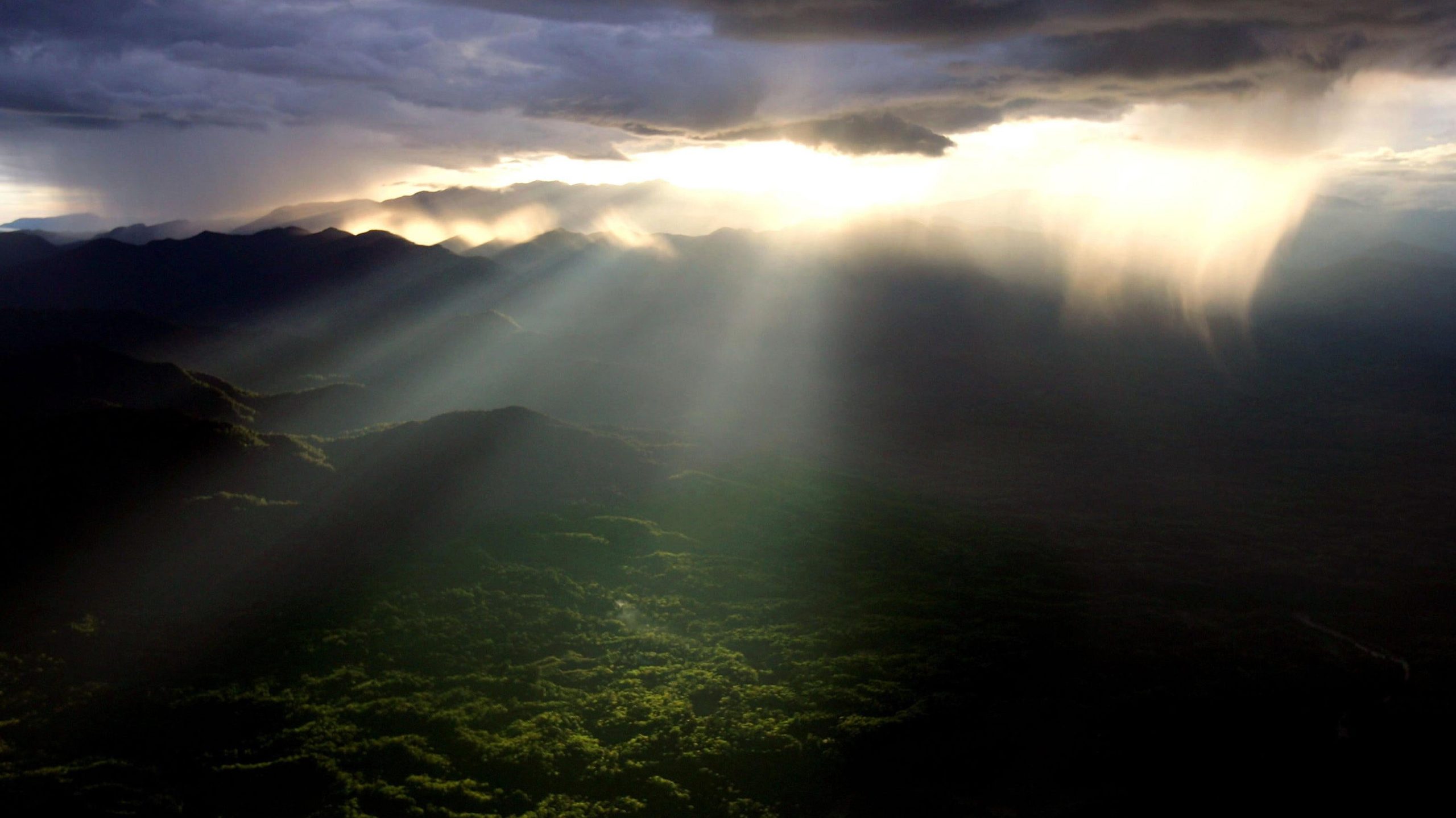
Sumatra’s rainforests are among the most important carbon sinks on Earth. The forests there have 720 million tonnes of carbon locked up in trees and soil. That’s the third-most carbon sequestered of any UNESCO World Heritage Site, trailing only the Amazon and the Democratic Republic of Congo’s rainforest.
But the new report shows that Sumatra has seen 5% of its forest cover disappear since 2001 due to deforestation. That’s tied to both logging and turning some land over to palm oil plantations. Chopping down trees has weakened the ability of the rainforest to take up carbon, and emissions from it have risen, including a sharp rise after 2014. In 2017 and 2018 alone, the forest released more than 8 million tonnes of carbon dioxide equivalent, a metric that takes into account other greenhouse gases such as methane. In addition to losing the ability to sequester carbon, the forest loss is also having grave impacts on wildlife from orangutans to critically endangered rhinos.
Río Plátano Biosphere Reserve, Honduras
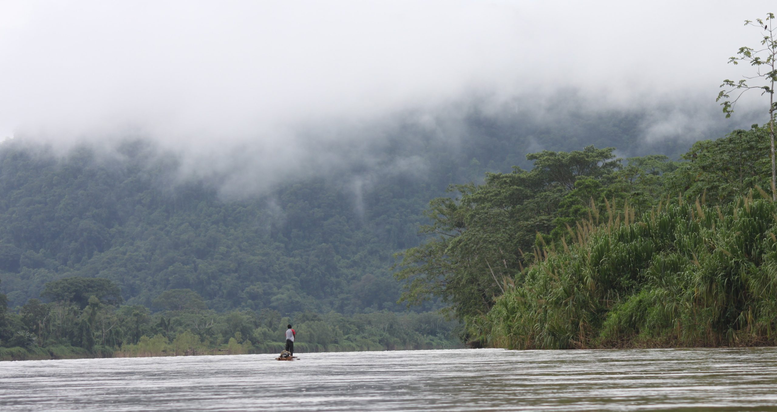
Río Plátano has seen tree cover fall even more sharply than Sumatra. The Honduran biosphere has seen a staggering 20% of its tree cover disappear since 2001. Deforestation is the major driver behind this region turning into a source of greenhouse gas emissions.
Yosemite National Park, U.S.
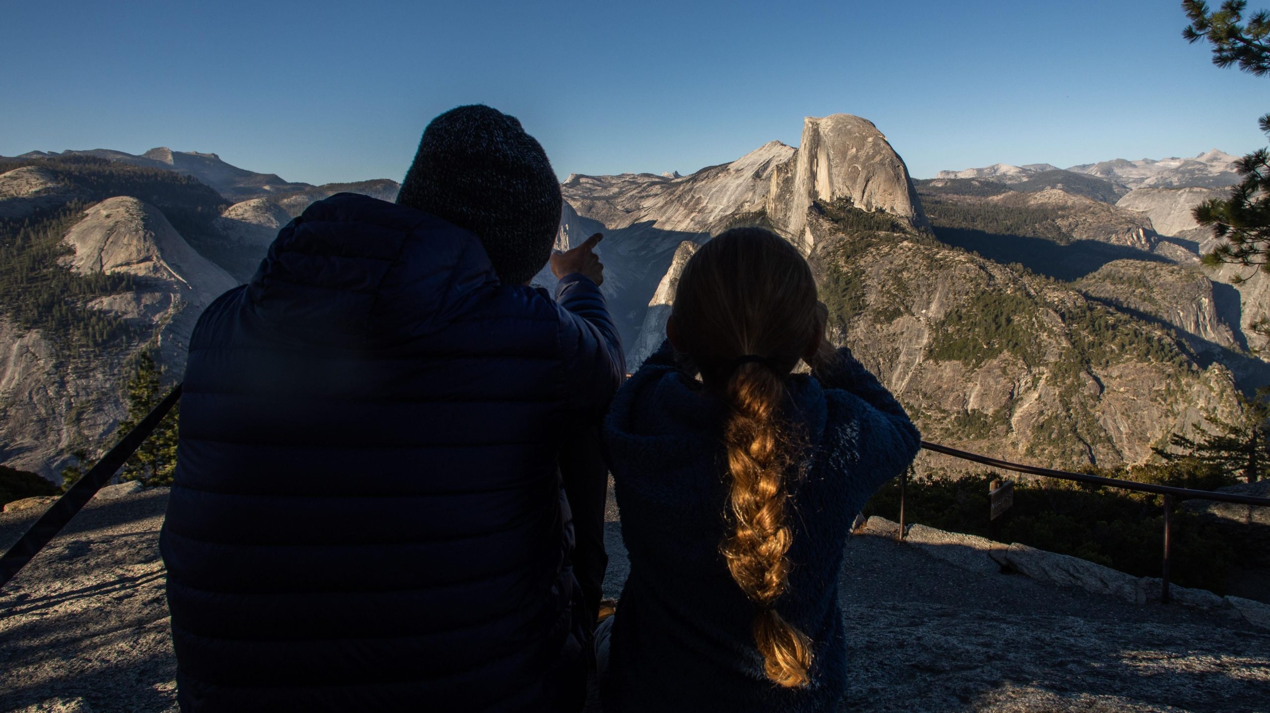
Yosemite may be best known for its iconic escarpments at the crest of the Sierra Nevadas. But the first national park in the world is also home to old growth forests that are increasingly under pressure due to wildfires. The massive Rim Fire ignited in the park and burned through hundreds of thousands of acres in 2013. Numerous other fires have burned in or near the park in recent years, including the Ferguson Fire in 2018 that forced the park to close.
California’s forests have become more vulnerable to wildfires due to rising temperatures and drought, so while Yosemite is becoming an emitter, the whole state is also seeing emissions rise due to massive blazes.
Waterton Glacier International Peace Park, U.S.-Canada
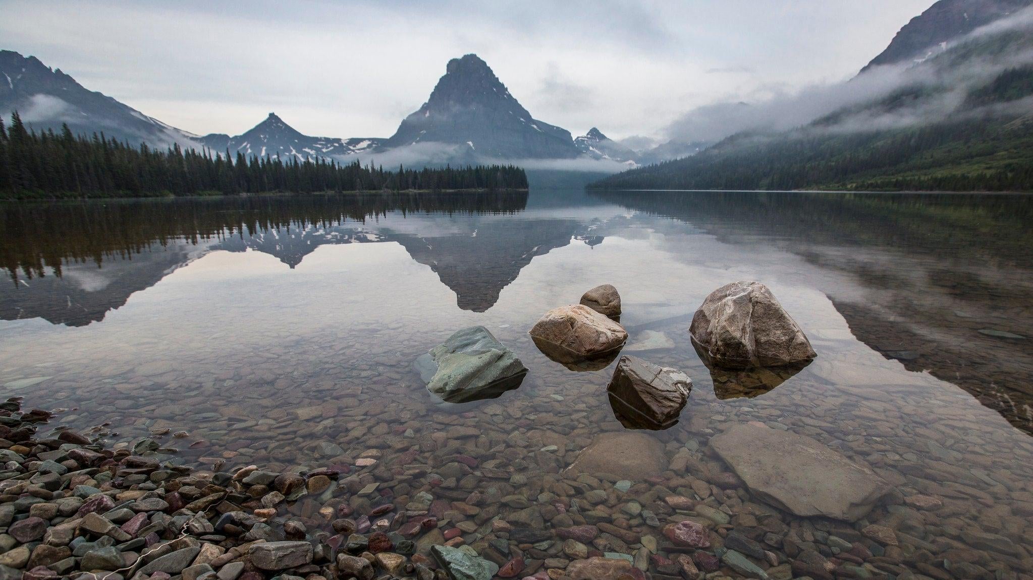
Peace may be the mission with these twin parks on the Montana-Alberta border. But the two parks are becoming carbon emitters due to wildfires like the ones that have ravaged Yosemite hitting them, too. The 2018 wildfire season saw Waterton shutter its entrances and Glacier National Park evacuate visitors. Bark beetle infestations have also left miles and miles of standing dead timber, ready to burn at a moment’s notice. The reason bark beetle damage has exploded is that rising temperatures have allowed the bugs to thrive through the winter.
Barberton Makhonjwa Mountains, South Africa
South Africa’s Barberton Makhonjwa Mountains are home to some of the most ancient rocks on Earth at more than 3 billion years old. They also lie within what’s known as the Barberton Greenstone Belt. But deforestation and crop grazing have started to degrade the area, leading to emissions that are on the rise.
Kinabalu Park
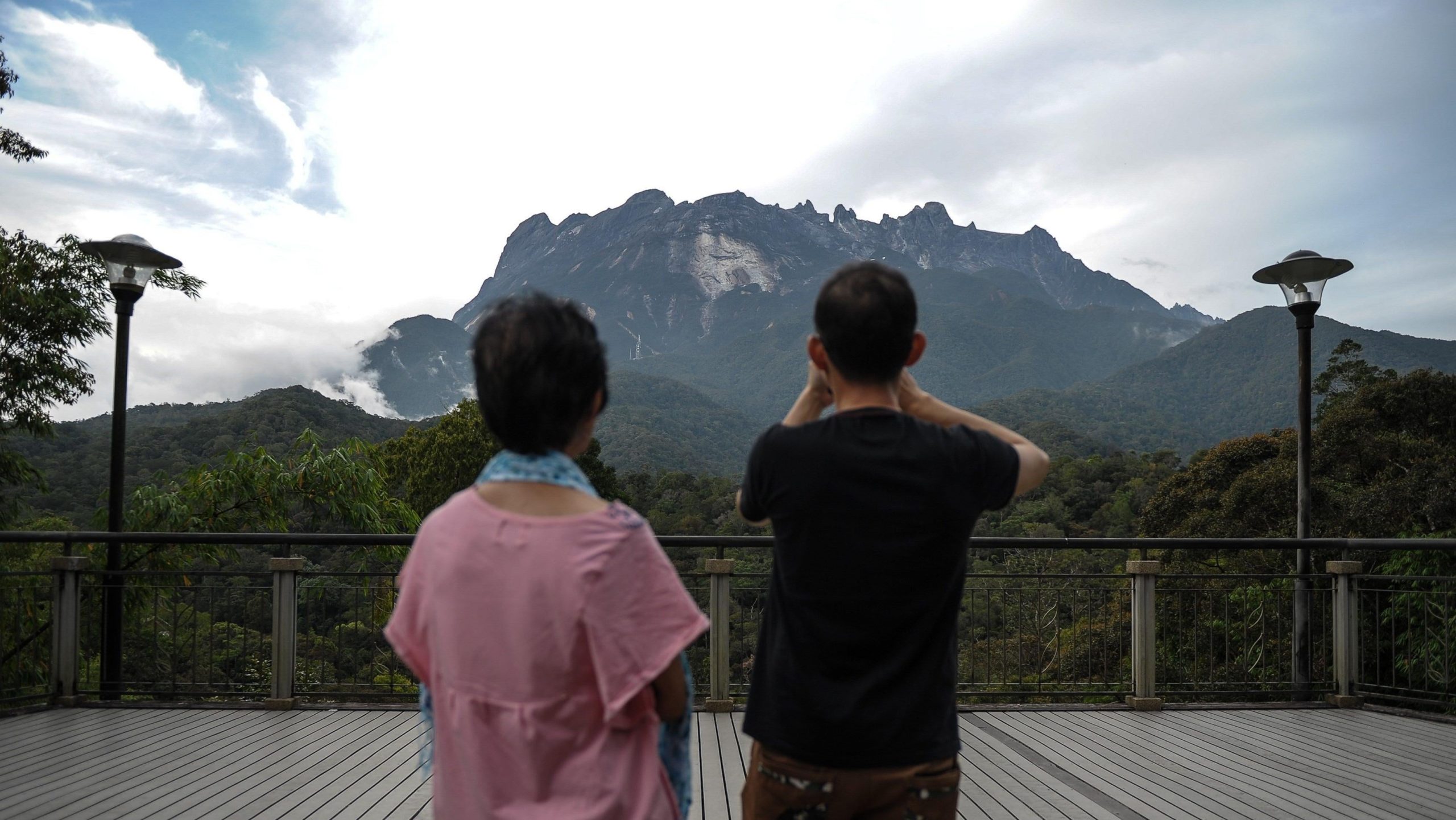
Kinabalu is also seeing deforestation to open fields for crops. But it has a strange natural reason for becoming a carbon source. The park was hit by an earthquake in 2015, which the report says is partly responsible for the uptick in emissions. While it doesn’t give a reason, it’s ostensibly possible that the earthquake led to downed trees that are decomposing and emitting methane as they degrade.
Uvs Nuur Basin, Russia and Mongolia
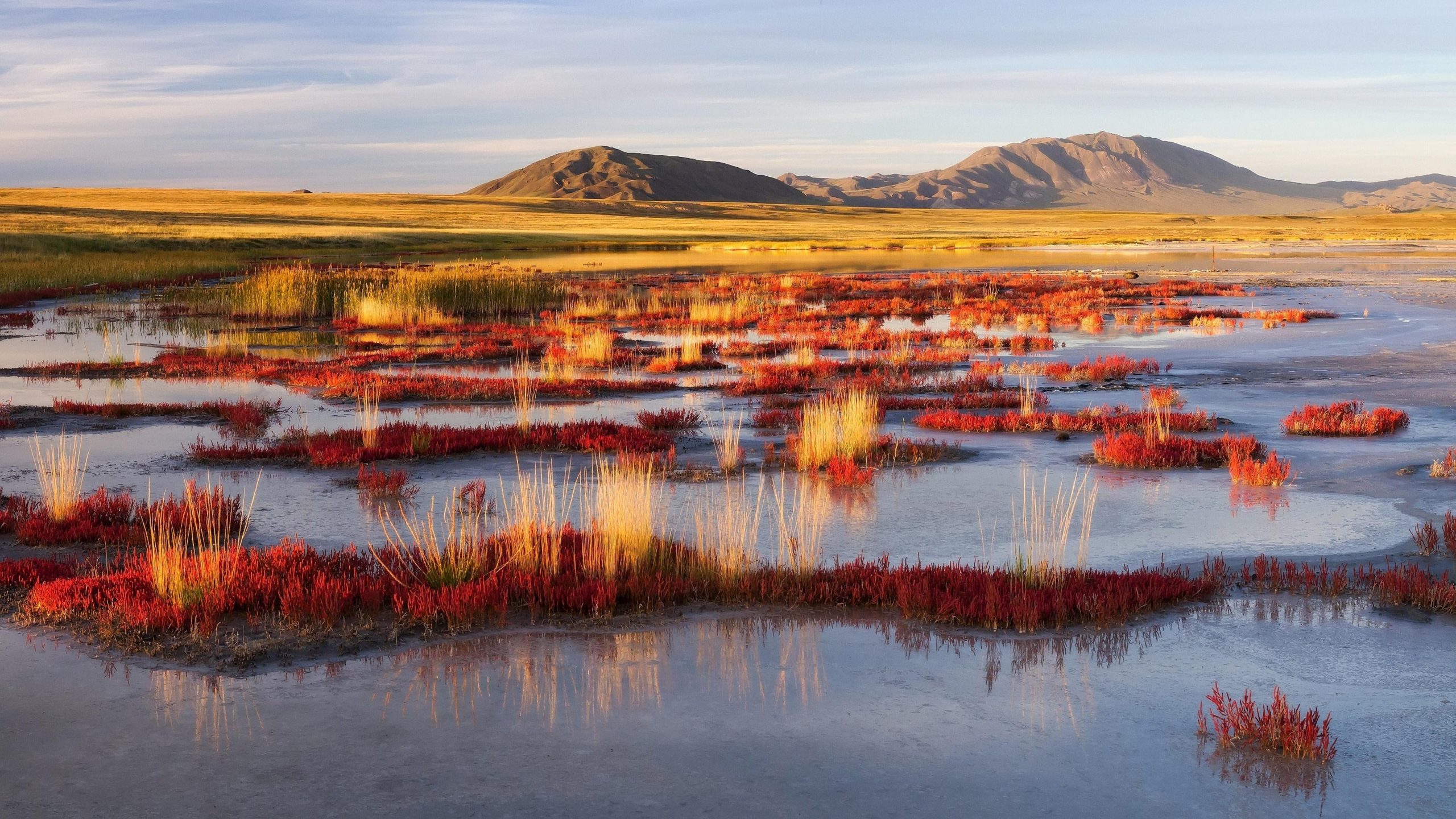
The Uvs Nuur Basin is perhaps less known for climate damage than Siberia’s forests that unleashed country-sized chunks of carbon dioxide due to wildfires in recent years. But the UNESCO World Heritage Site that straddles the Mongolia-Russia border has also been impacted by wildfires as well as deforestation tied to livestock grazing, both of which have led to the region turning into a net emitter.
Grand Canyon National Park, U.S.
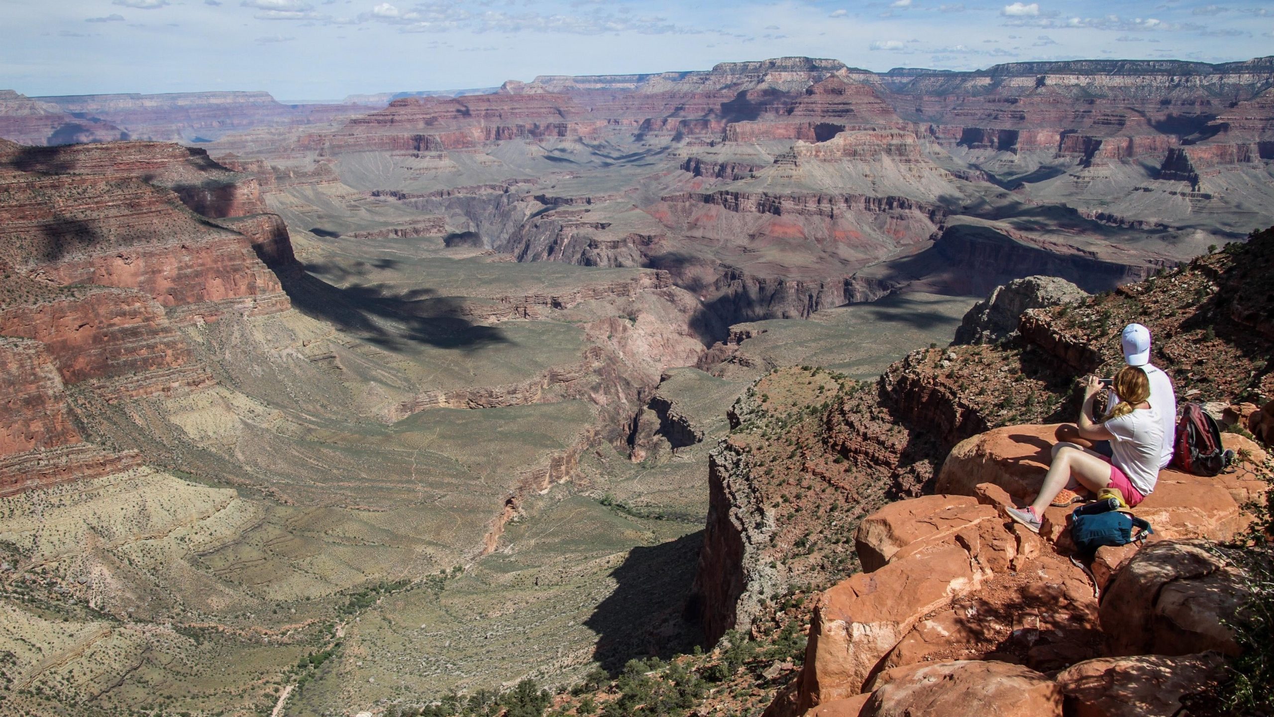
The Grand Canyon is perhaps more known for rocky cliffs, ancient rocks, and shooting the rapids of the Colorado River. But the site is also home to extensive forests along the rim. They’ve been impacted by the megadrought that has gripped the Southwest, leading to tree dieoffs.
Greater Blue Mountains, Australia
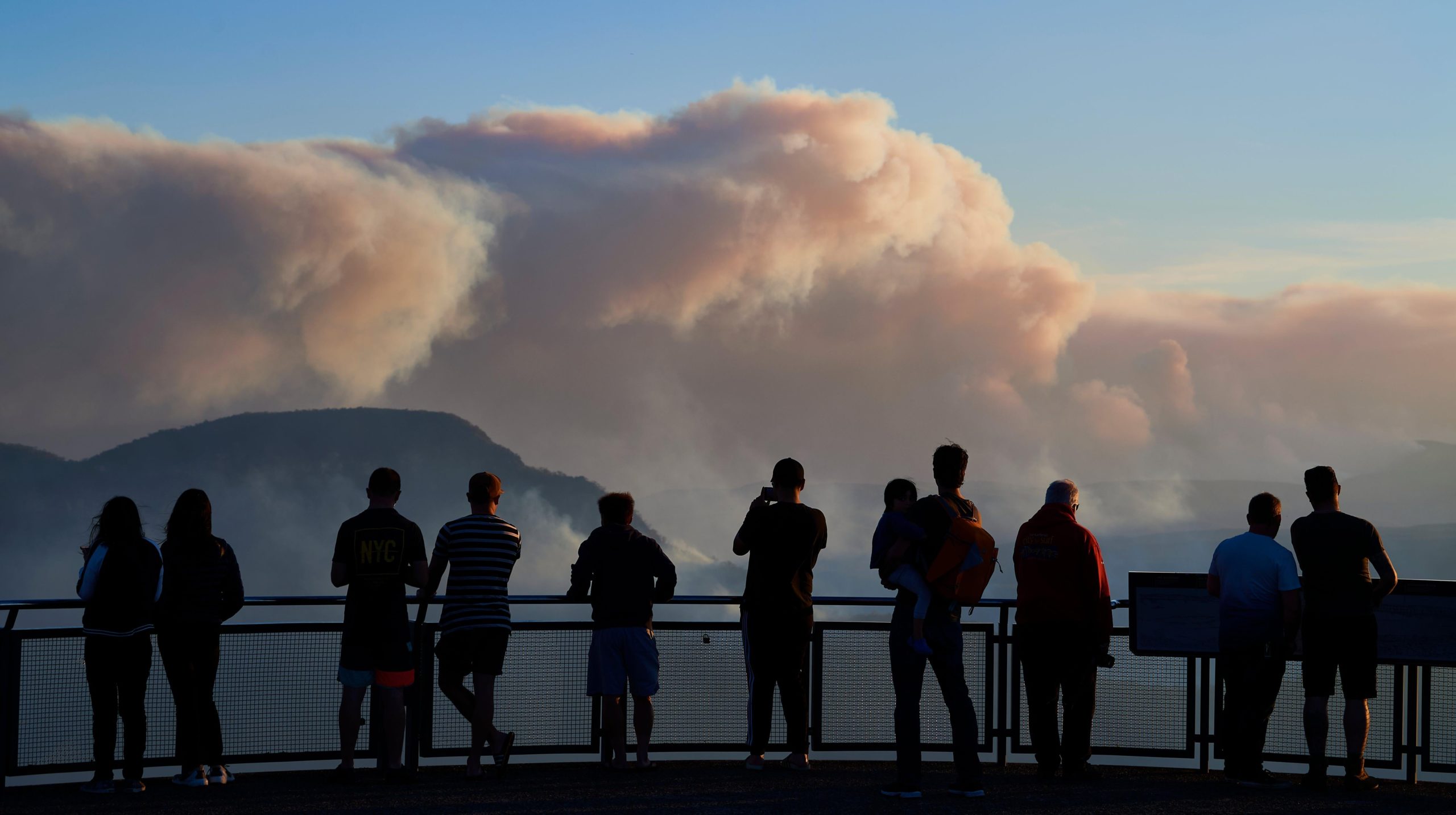
The Blue Mountains were ravaged by bushfires in the 2019-20 wildfire season that was among the countries’ most damaging on record. A snap analysis found that climate change made the extreme fire weather behind the season 30% more likely. That has huge implications for the climate as well as wildlife and public health.
Morne Trois Pitons National Park, Dominica
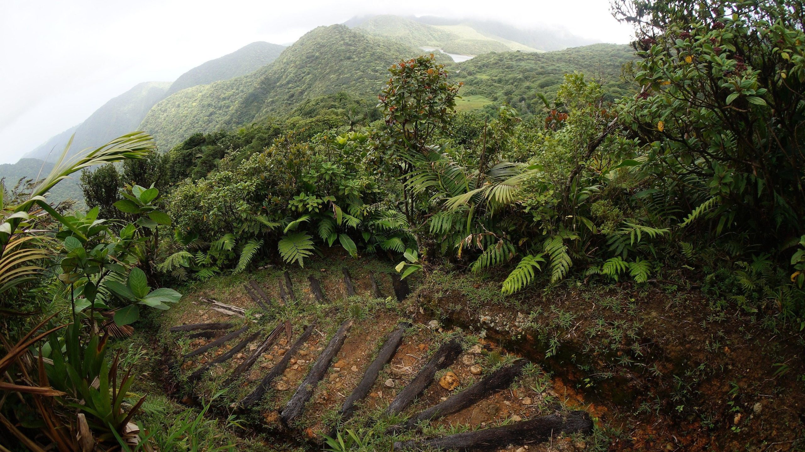
Climate change has also damaged Dominica’s World Heritage Site. Morne Trois Pitons National Park sits amidst the island’s steep mountains that absorbed a direct hit from Hurricane Maria in 2017. An estimated 90% of buildings on the island were damaged by the hurricane.
The forests of Morne Trois Piton were also hit hard, with trees toppled and denuded. The UNESCO report notes that, “While forests here are adapted to hurricanes and will slowly recover over time, the higher frequency and severity of storms may reduce forests’ ability to permanently store the same amount of carbon as they did when disturbances were less frequent and severe.”
That means the shift of Morne Trois Piton from carbon sink to source may become more common in other forests in the path of hurricanes, cyclones, and typhoons.