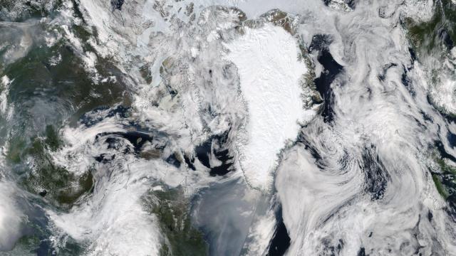
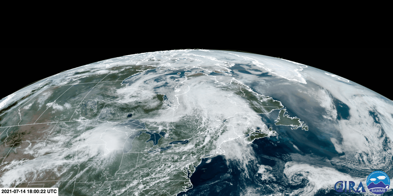
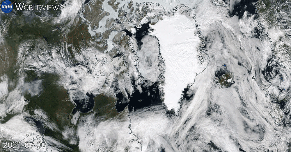
Satellite images show that smoke has travelled thousands of miles from fires burning in the Pacific Northwest and California to reach the skies of Greenland. It’s expected to keep moving east, and impacts from the West’s raging wildfire season may soon be felt across the pond.
Dozens of large wildfires are burning across the region from British Columbia to Arizona following a series of record-shattering heat waves that worsened the megadrought. A number of those fires have spawned pyrocumulonimbus clouds reaching thousands of feet into the sky or otherwise coughed up massive amounts of smoke that has, in turn, been swept up into the atmosphere. Winds brought the smoke to Greenland, with satellite images clearly showing a trail of blueish-grey smoke stretching roughly 4,184 kilometres around the northern tier of the globe.
The smoke, Copernicus Atmosphere Monitoring Service scientist Mark Parrington said on Twitter, is projected to reach Iceland, Scotland, and Norway in a couple of days. The smoke is high in the atmosphere, leading to stunning sunsets in Greenland and other locations under its veil. Forecasts from Copernicus also show a big column of carbon monoxide and a cloud of particulate matter layered over where the smoke is launching off from the Canadian coast and travelling to Greenland.
Parrington said in a Twitter DM that because the smoke is suspended tens of thousands of feet in the air, it “is not likely to reach the surface and affect air quality” for locations overseas. The same can’t be said for locations closer to the fires, though: A number of air quality sensors in the area show unhealthy levels of pollution as of Thursday morning.
Local officials in states as far from the blazes as Minnesota have issued an air quality alert due to smoke from Canadian wildfires. The National Weather Service also issued air quality warnings related to wildfire smoke on Wednesday for Washington, Idaho, Minnesota, Colorado, Oregon, while warning that smoke was also present in California, Nevada, Montana, Wyoming, Utah, Arizona, and parts of New Mexico and Texas.
“It’s an airway irritant. There are little particles in the smoke that would get into the airways and irritate them,” Dr. Lori Shoman, a respiratory therapist, told the AP. “Anybody who gets shortness of breath should be aware of the conditions outside before they go outside and monitor how they are feeling. If they develop symptoms of shortness of breath or sore throat and it’s kind of getting hard to breathe, think about getting inside and getting into some cleaner air.”
There are currently 68 large fires burning in 12 U.S. states, according to the U.S. National Interagency Fire Centre. Those blazes have burned more than 1 million acres. In British Columbia, there are more than active 300 wildfires burning across, according to the provincial government. The megadrought engulfing much of the West coupled with cascading heat waves mean that the western U.S. and Canada could see one of their worst fire seasons on record.
“As you go out there today — adjust your reality,” Al Lawson, an incident commander in Oregon, told crews on Tuesday preparing to go fight the state’s Bootleg Fire, which has burned more than 200,000 acres and is only 5% contained. “We have not seen a fire move like this, in these conditions, this early in the year. Expect the fire to do things that you have not seen before.”
That fire threatened power lines that connected the Oregon and California grids over the weekend, right as a heat wave tied an all-time record for the hottest reliably recorded temperature on Earth in Death Valley. These types of compounding disasters are becoming more common due to the climate crisis. Researchers found that carbon pollution made the Pacific Northwest heat wave that helped fuel many of these fires 150 times more likely.
The satellite images bring to mind those seen during the 2019-20 bushfire season in Australia. The monster fires sent smoke across the Pacific to South America, and eventually, the smoke formed a ring around the entire southern hemisphere. Along the way, the soot that did fall out of the atmosphere darkened the New Zealand Alps, which likely hastened snow and glacier melt. A similar risk exists for parts of Greenland as well as snow and ice in other locales.
The smoke from those fires also left Australia with an estimated $US1.5 ($2) billion medical bill due to hospital visits, deaths, and other public health ills. While the West hasn’t reached 2019-20 bushfire levels of catastrophe yet, wildfire season is still ramping up. And unfortunately, another heat wave is on the way.