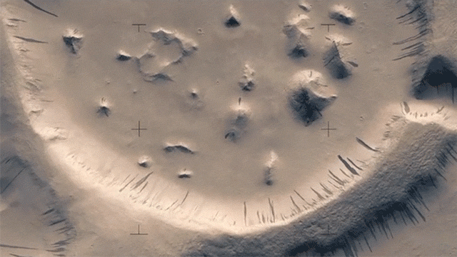
Over the course of 12 years, the HiRISE camera has been photographing the Red Planet inch-by-inch from the Mars Reconnaissance Orbiter. Around 50,000 still images have been taken and anyone can check out hi-res stereo versions online. A Finnish filmmaker has spent three months converting the photos into a short video that allows us to fly over Mars in spectacular fashion.
GIF: Jan Fröjdman
[referenced url=”https://gizmodo.com.au/2017/01/incredible-new-image-shows-the-earth-and-moon-from-mars/” thumb=”https://i.kinja-img.com/gawker-media/image/upload/t_ku-large/iwea3lwdsn7s3g2ape6r.jpg” title=”Incredible New Image Shows The Earth And Moon From Mars” excerpt=”During a recent calibration exercise, NASA’s Mars Reconnaissance Orbiter captured a remarkable view of Earth and its moon from a distance of 205 million km. It’s so clear, you can even make out our planet’s continents.”]
Jan Fröjdman wanted to see those HiRISE images move and he was willing to put in the necessary work. The resulting film is a 3D conversion that uses hand-selected data from the available photos. Wired explains his process:
For Fröjdman, creating the flyover effect was like assembling a puzzle. He began by colorizing the photographs (HiRISE captures images in grayscale). He then identified distinctive features in each of the anaglyphs — craters, canyons, mountains — and matched them between image pairs. To create the panning 3-D effect, he stitched the images together along his reference points and rendered them as frames in a video. “It was a very slow process,” he says.
Slow, indeed. He tells Wired that a flat area requires hundreds of reference points, while a more complex region uses thousands. In all, he chose 33,000 points, one at a time. Fröjdman says that he couldn’t find any software that would automate the process, but he might be kicking himself at the moment. Alfred McEwen, principal investigator on NASA’s HiRISE says that they actually have terrain modelling programs that do it all for you. Regardless, DIY gets the job done and considering how much time this gentleman spent making it, the least we can do is take a few minutes to enjoy it.