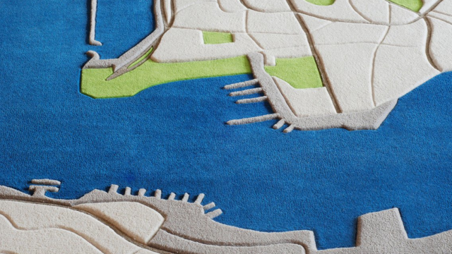
There’s something about seeing the developed world from 6000m that’s absolutely mesmerising — like a fascinating map you can’t stop poring over, despite knowing it by heart. Architect Florian Pucher has taken those magical views and recreated them as hand-tufted wool rugs.
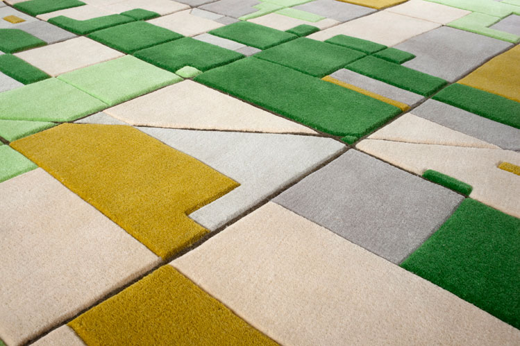
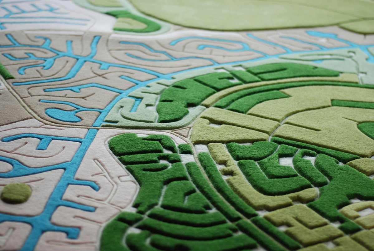
“I have always been inspired by watching the landscape go by when I fly,” says Pucher on his website, “and thought that it would be great to transform these impressions into floor covering for your home.” Pucher’s line of rugs, called LANDCARPET, are woven from Google Image satellite views of the Earth, ranging from European farmscapes to the ports of Hong Kong, above. There are the semi-rural areas of the American west:
And the suburbs of the Bahamas:
To the lines of an unidentified African city:

We’ve featured rugs adorned with Hubble telescope images and even other satellite-inspired carpets, but the precision of Pucher’s lines make these far more interesting and recognisable as cities and landscapes. They’re also expensive, starting at $US1200, though that’s not far off what an average rug would cost you at a store. And besides, you’re saving on airfare. [LANDCARPET; Yatzer]
All images via Florian Pucher.