Everyone’s favourite lil’ rover, Curiosity, has now been rolling around Mars for two years. So it’s high time Google Maps got in on the action — and now, to celebrate the anniversary, it’s launched Maps for Mars and the moon. Getting pin man into space is pretty easy, if you follow a few steps.
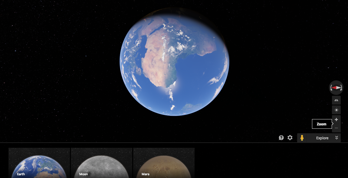
It’s simple, as long as you know where you’re going. First, open up Google Maps in your browser. Then, zoom out. Alllllll the way out. Once you’re as far away as you can get, you should see a beautiful high-res rendering of Earth backlit by the Milky Way. Make sure the option bar at the bottom of your browser window is pulled up, and you’ll see there are two other planetary options: The Moon and Mars.
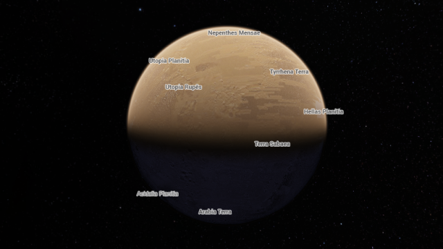
Right now, each planet is labelled with major landscape features, like craters and mountains. You can click on each name to learn more, but it’d be amazing to have a more detailed way to explore, say, the spot where the Apollo 11 mission first touched down. There’s actually an older, 2D map you can use to see those details, so maybe we’ll eventually see it in Google Maps too.
And now that Rosetta has photographed the first comet ever intercepted by human technology, maybe someday we’ll see a Google Maps entry for Comet 67P/Churyumov-Gerasimenko too. [Google Maps; Engadget]