Good thing it’s almost the holiday weekend and you don’t need to be productive because the USGS just launched a heck of a time-wasting website. Now you can explore cities through beautiful old maps, some dating all the way back to 1884. But here’s the best part: You can mix and match many maps to tell your own geographic story.
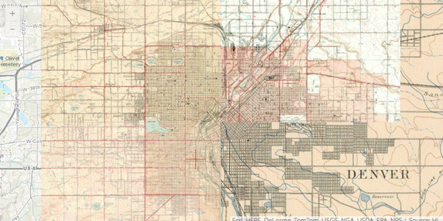
The USGS Historical Topographic Map Explorer pulls over 178,000 maps of the U.S. into a clean little app. Once you select a geographic area (you can search anything from a city to landmark to an address), a slider appears showing you all the map options to view, arranged along a timeline.
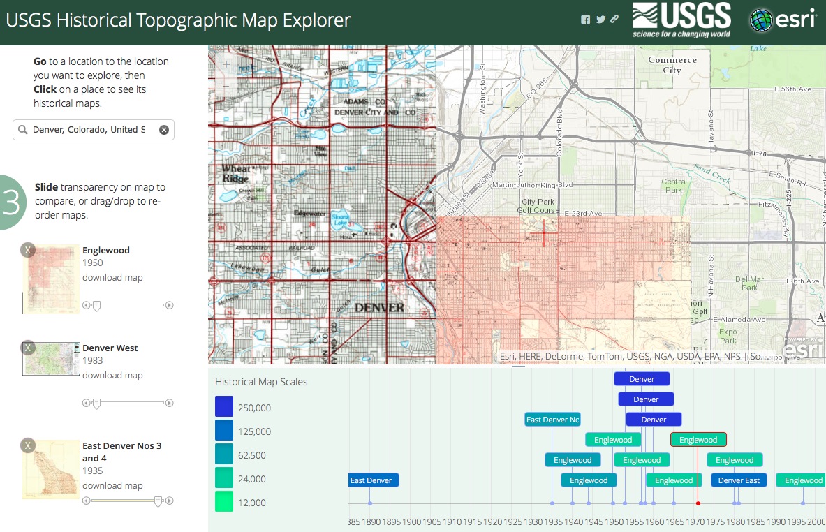
Selecting these maps will position them perfectly over a present-day map, and you can also layer them in the order you’d like over on the left, where you can also control their transparency. You can also download the entire map itself as a glorious full-colour PDF.
Just clicking through the different maps is a treat as it gives you insight into the changing ways that maps were designed and illustrated through the years. You can also watch how a map changes focus through the years, from simply plotting parcels to including railroad routes and eventually freeways. Depending on what kind of coverage you have of a particular area, the detail from the maps can be incredible — I mapped my block, for example, and discovered that in 1928 the park down the street was a lake!
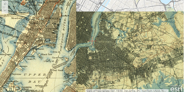
I was enjoying my little geographic jaunt, so I gave myself a little U.S. tour of some notable cities through the years. I enjoyed watching the New Jersey and New York shorelines encroach upon New York Bay as the shipping industry grew, literally changing the shape of the cities. (And Manhattan is about to grow some more.)
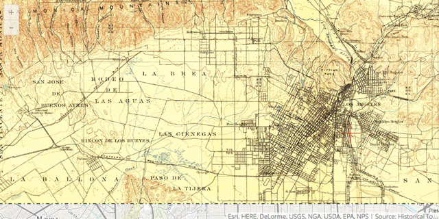
In Los Angeles, you can watch as the original ranchos founded by Spanish settlers become slowly urbanized, first in downtown L.A., then Hollywood, Beverly Hills and Culver City. Most remarkable are the maps showing the expansive routes of the Pacific Electric streetcars, slowly replaced by freeways.
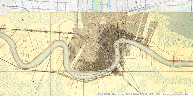
I also found the map history of New Orleans to be particularly intriguing, watching closely as a tiny city on a bluff is finally able to grow thanks to a comprehensive levee system. You can even see how the Mississippi was sculpted and re-sculpted over the years.
I finally had to peel myself away from the USGS site but I highly recommend getting lost here for a few hours. What better way to show your love for the U.S. of A. and all its remarkable history? Make your own map mashups and share them with us. [City Lab]