One of the best moments in the new movie Her is watching Joaquin Phoenix ride an elevated train through a Los Angeles of the near-future, dance through a bustling subway station, and emerge at the edge of the Pacific Ocean.
The scene got a surprised laugh from everyone at the screening I attended. After years of nimby battles and funding shortfalls, director Spike Jonze had just completed the Subway to the Sea!
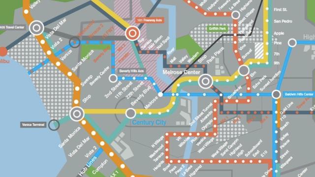
As Phoenix’s character walks through the station — it was shot in the Hollywood and Western station of L.A’s real-life Red Line — you can even catch a glimpse of the subway map. A screengrab of the scene was posted to Reddit, but it’s not that easy to see, so I asked designer Geoff McFetridge, who designed the interfaces and graphic elements in the film, if he would send me the original file. And he did. (You can click on the top left to expand it.)
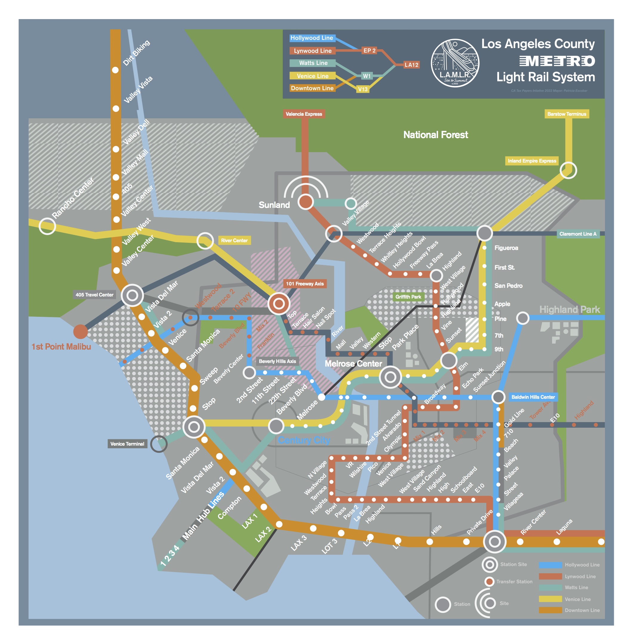
Keep in mind this is a fictional work of design, created for a film, so it’s not geographically accurate, but you have to appreciate the vision and wit in this map that most of us have been fantasizing about for decades. The system ranges from the Angeles National Forest to Malibu over five lines, with stops at some familiar places and some completely invented (I especially love the stations named “Nail Spot” and “Hair Salon”). A new neighbourhood, Melrose Center, which I would guess to be around modern-day Koreatown, has become a major hub, bigger than present-day downtown. And for those who bemoan our current transit options at the airport: The train not only goes to LAX now, but it makes THREE stops!
Most notable are the paths of some of the lines. While the gold/teal path almost traces the real-life Gold and Expo Lines (which will bring light rail to Santa Monica in 2015), others seem to mimic current freeway routes. There’s a junction named 101 Freeway Axis, and the orange line running over the Sepulveda Pass looks like it basically traces the 405 Freeway. Who knows? With this system up and running, we might be constructing the light rail lines over abandoned freeways in the future.
McFetridge would especially like to call attention to the fictional transit authority named Los Angeles Metro Light Rail (LAMLR) and the logo he designed for it: “From the Summit to the Sea.” Not a bad tagline to aspire to, L.A. [Reddit]