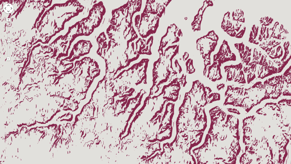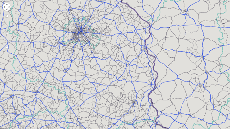
Google Maps offers a lot of tools for developers (or anyone!) to work with, visualise and customise the existing service. And a lot of cool maps, infographics and tools come out of the APIs. But sometimes it’s nice to take something like the topographical data and move it in a totally different direction. Like maybe art?
Designer and artist Kim Asendorf created a site that highlights a different combination of maps elements every time you refresh. Using crazy colour combinations, the site will show things like rivers, streets or mountains in different combinations and tones. And the maps show landscapes all over the world at different magnifications. It’s great when something beautiful comes out of something powerfully practical. [Creative Applications]