It’s hard to imagine that the vast skylines of our major cities were once empty space and unused tracts of land. But the rapid urban growth over the last century is nothing short of astounding, especially when condensed down to simple two-minute animations.
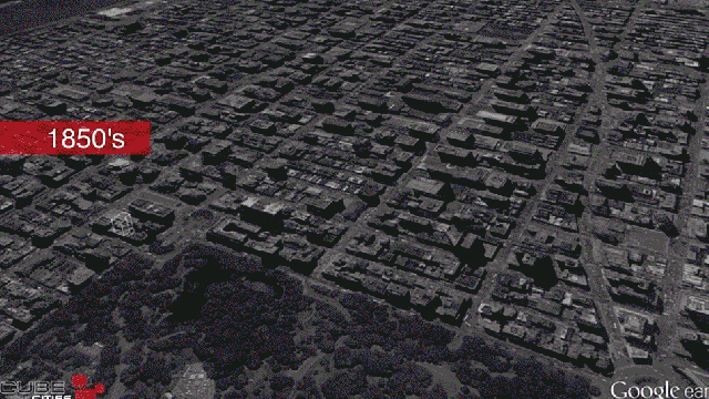
The 3D flyover renderings were created by a real-estate company called Cube Cities, out of Calgary. The company has made heavy use of Google Earth imagery to give their clients a better visual understanding of commercial properties within urban environments. These particular videos utilised construction data to show when buildings of major cities cropped up over time.
San Francisco:
Midtown Manhattan:
Toronto:
Chicago:
Each animation featured is slightly different, due to Cube Cities’ process of testing various models. It is fascinating to compare how the different cities rose up in the historical context of each decade over the past 100 years.
[Cube Cities via Atlantic Cities]