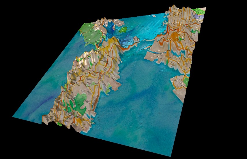
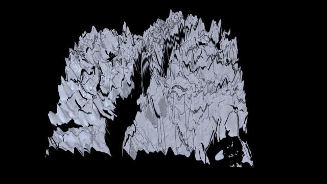
Twitter never tires of finding clever new ways to show off its mountains of tweets, and now it’s going literal with actual mountains of tweets. Twitter’s in-house data visualisation scientist Nicolas Belmonte put together these new, interactive, topographical maps of tweet history, and the result is a digital mountain range like you’ve never seen.
Drawing from the same data that shows off the whole world in geo-tagged tweets, Belmonte whipped up three-dimensional mountain ranges for three of Twitter’s biggest cities: New York, San Francisco and Istanbul.

Over on Twitter’s site for the project, you can choose between a number of different layouts and settings that range from very traditionally mappy to almost completely abstract. If you take a peak peek, you’ll see triumphant spires in obvious places like midtown Manhattan and San Fran’s financial district, but also weird little features, like ridges of tweets rising up from the ocean thanks to bridges.
It’s not every day you’ll find mountains that you can help shape a mountain range. So go take a look, and — if you happen to be living in one of these invisible mountain ranges — add your own pebble to the pile. [Twitter]
