hirise
-
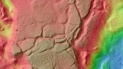
Detailed Mars Water Map Shows Where to Land Future Explorers

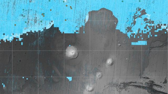
A new map of subsurface water on Mars just dropped, and it reveals regions on the Red Planet where ice may be buried beneath the surface for future astronauts to use. This week, the NASA-funded Subsurface Water Ice Mapping project (SWIM) released its fourth set of maps, which the space agency is calling the “most…

-
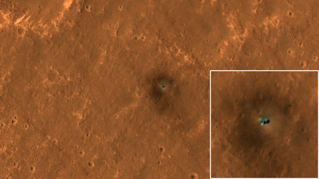
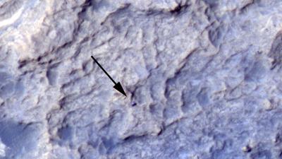
New Satellite Pics Show Curiosity And InSight Hard At Work On Mars
New images taken by the Mars Reconnaissance Orbiter are providing fresh views of NASA’s Insight lander and Curiosity rover on the Martian surface.
-
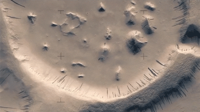
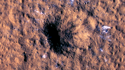
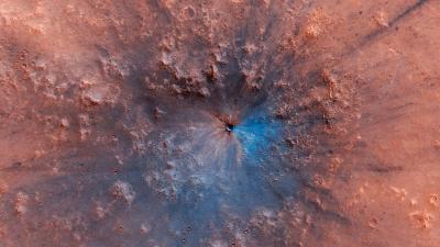
Filmmaker Painstakingly Crafts One Of The Best Looks At Mars Ever

Over the course of 12 years, the HiRISE camera has been photographing the Red Planet inch-by-inch from the Mars Reconnaissance Orbiter. Around 50,000 still images have been taken and anyone can check out hi-res stereo versions online. A Finnish filmmaker has spent three months converting the photos into a short video that allows us to…
-
Twelve South’s HiRise Apple Watch Stand Is Out Now In Australia
Got yourself an Apple Watch? How often do you need to charge it? If you’re a heavy user, that might be daily — and that’s when a magnetic charging stand like Twelve South’s HiRise might come in handy. It’s a beautiful little piece of design, too.