Image Cache: We are visual beings: Our perception of the world is intrinsically tied to our ability to perceive light. But what about the places where light doesn’t fall? Do places in shadow still encode information for the visual cortex to process? Can shadows actually tell us something meaningful about the landscapes they darken?
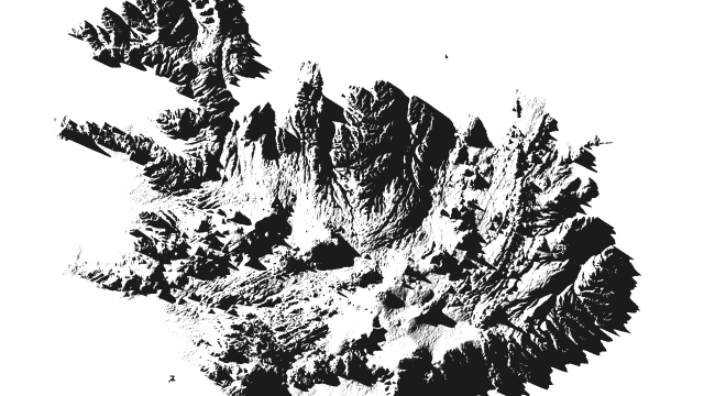
Iceland. All images: Robbi-Bishop Taylor
Browse through the cool photos, animations and diagrams in Gizmodo’s Image Cache here.
“Shadowlands”, a stunning new series of maps by geographer and data scientist Robbi Bishop-Taylor, explores these questions. The maps, which Bishop-Taylor released recently on his Imgur page, show us the topography of the continental United States and Europe as mapped by sunset shadows — the shadows cast by hills and mountains just before sunset on a summer solstice.
It’s an eerie and surprisingly beautiful way of looking at the world.
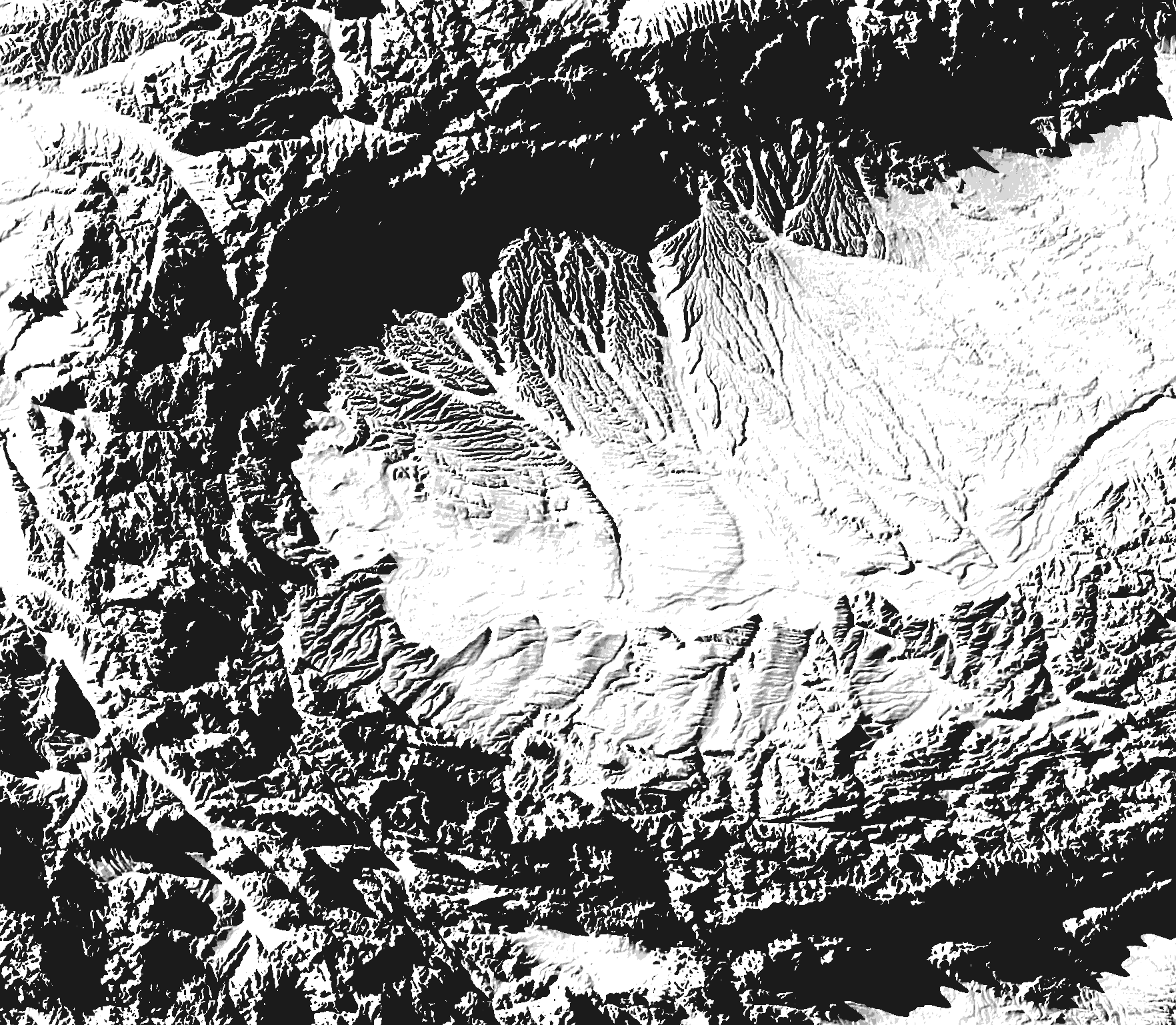
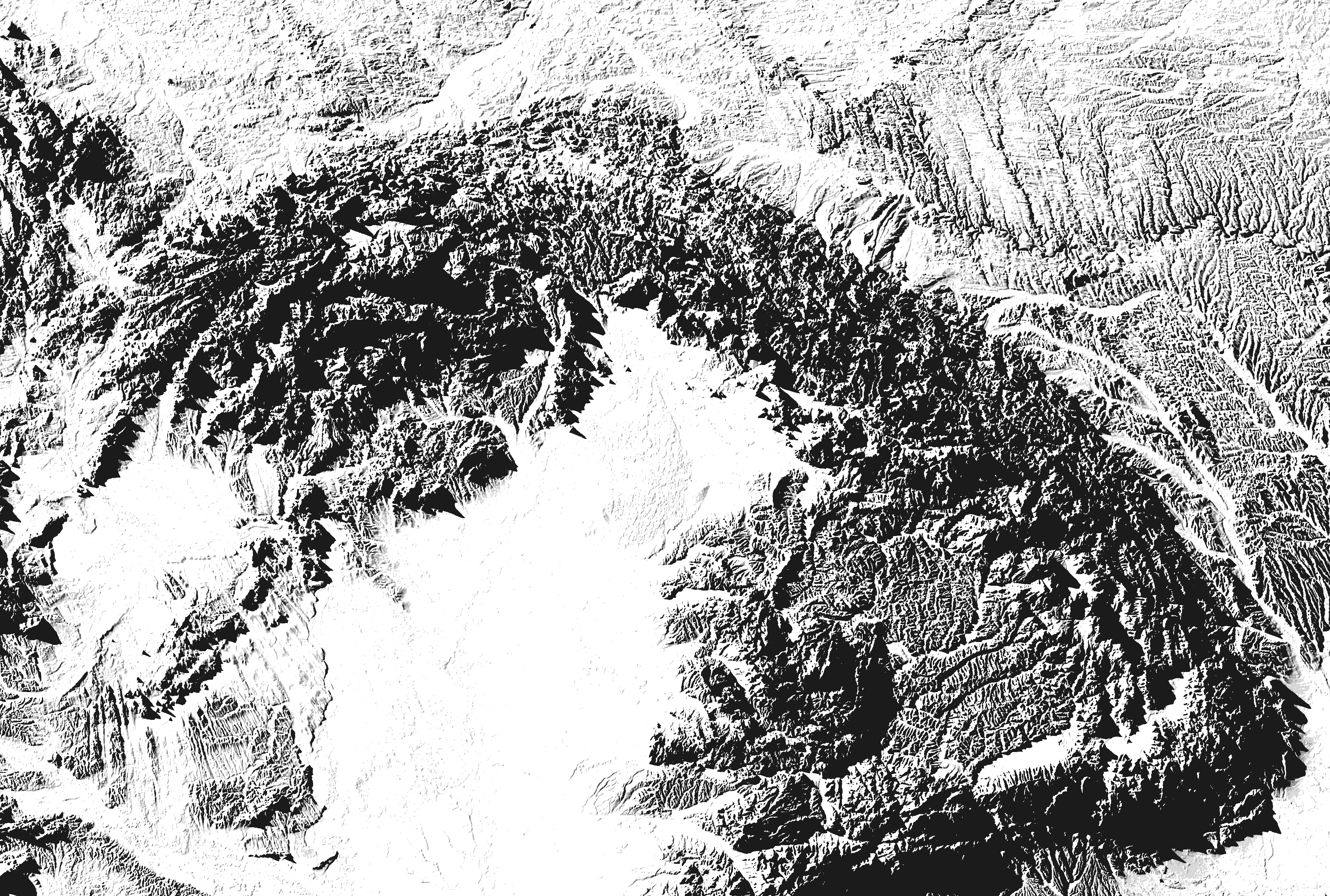
The Transylvanian Alps, Romanian Plain and Balkan Mountains
“The idea for the maps came out of a desire to showcase the structure and shape of the Earth’s natural landscapes in a beautiful, minimalist way,” Bishop-Taylor, who is finishing a PhD in geospatial science at the University of New South Wales, told Gizmodo in an email. “My hope is by showing the familiar features of the planet — hills, mountains, rivers — from a new, unfamiliar perspective, my maps can help introduce others to the incredible beauty of geography that might otherwise go unseen.”
To make the maps, Bishop-Taylor drew on a high-resolution digital elevation model produced by NASA’s Shuttle Radar Topography Mission, which contains data on the height of every 30 x 30m pixel of land across the entire planet. He then added simulated sunlight, using a sun angle just 1.5 degrees above the horizon to cast long shadows, and mapped everything out using ArcGIS.
Courtesy of Bishop-Taylor, we’re sharing a few of our favourite shadow maps here. If you’re a serious map geek looking for some sweet new wall decor, you can head on over to his Etsy page, where high-res versions of these maps and more are available for purchase. Bishop-Taylor is using the money from selling his maps to fund his PhD, which is honestly an awesome idea that’s worth supporting in its own right.
Europe
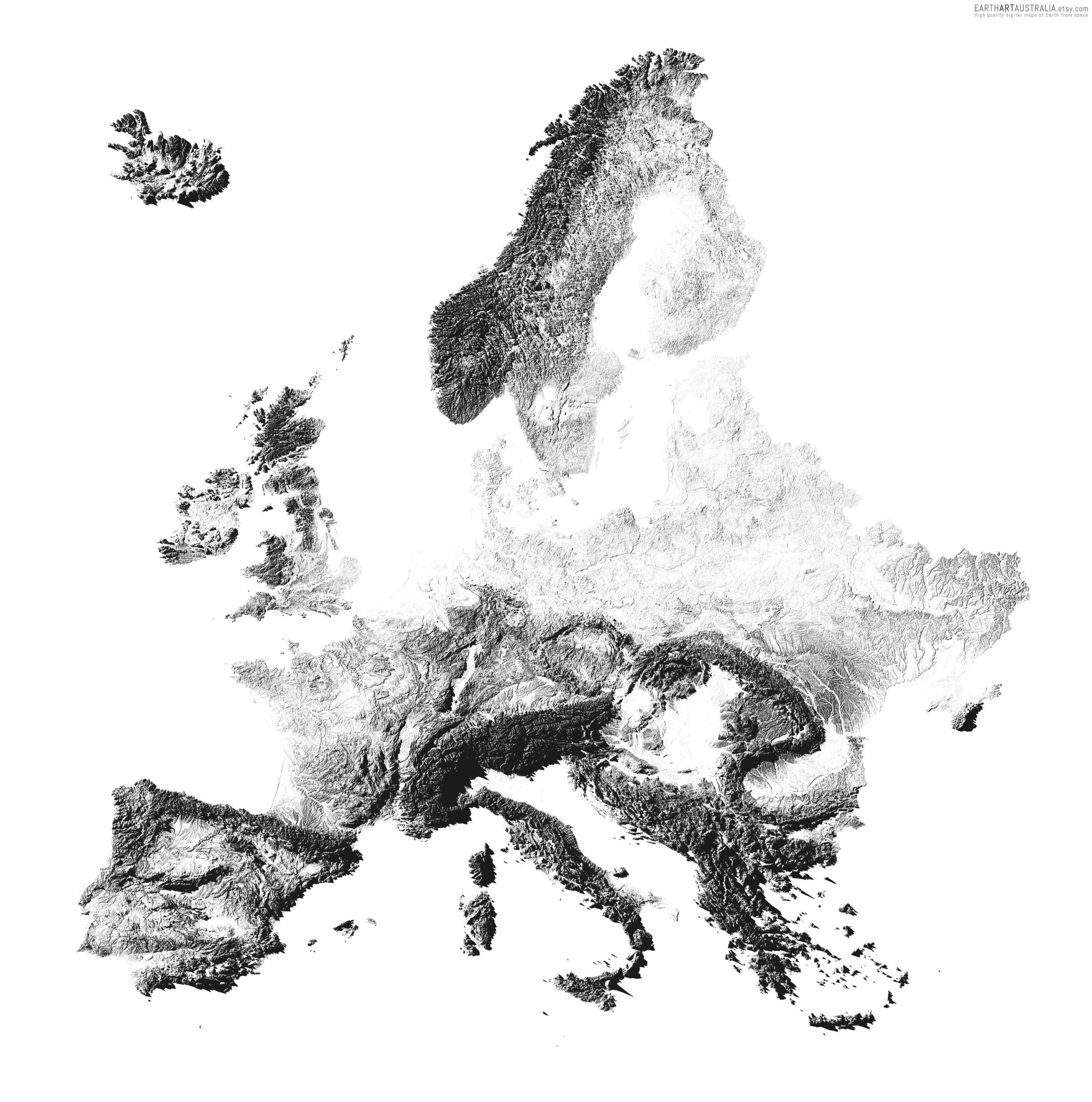
The European continent
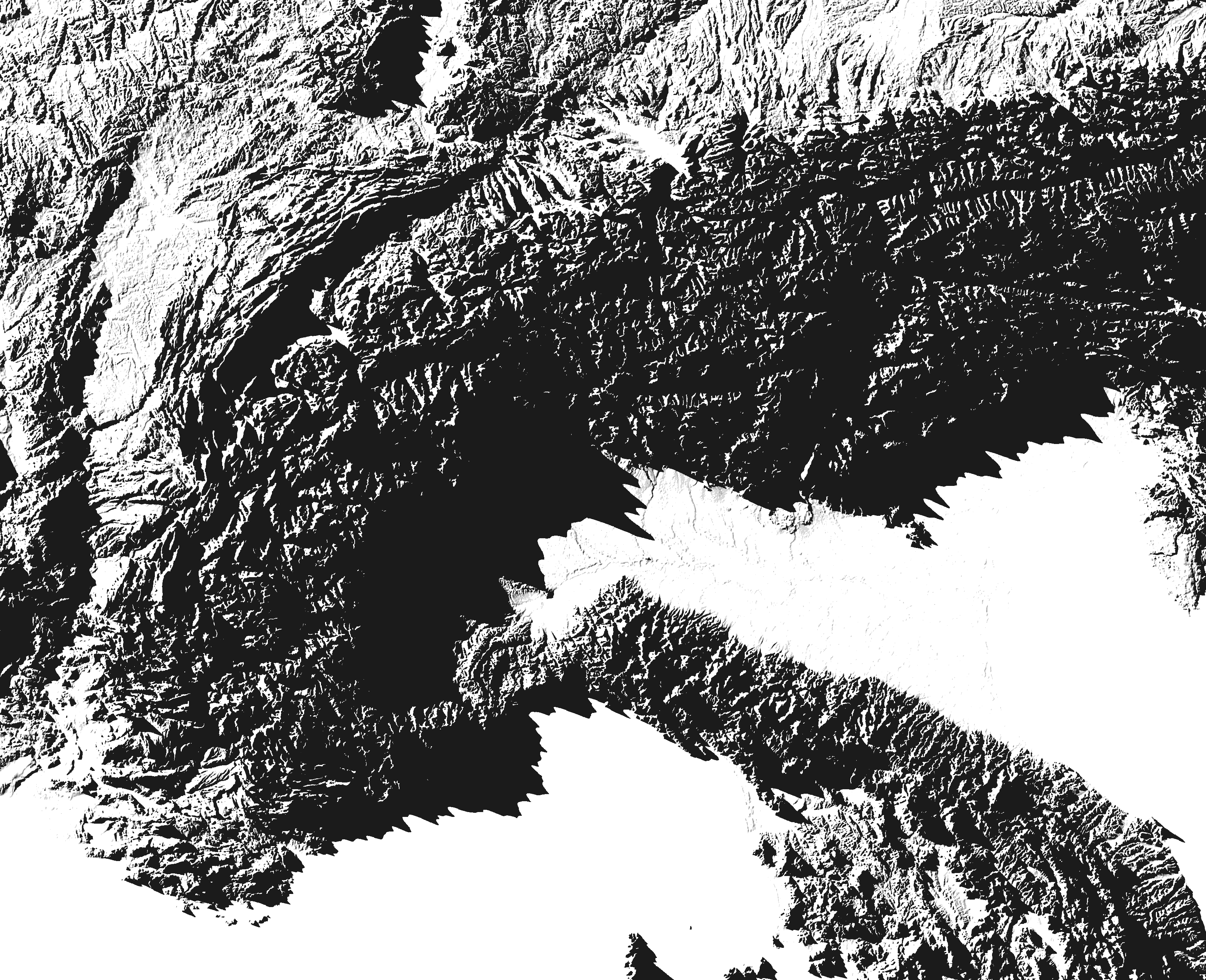
The Alps and Po Valley
The Carpathian Mountains and Great Hungarian Plain
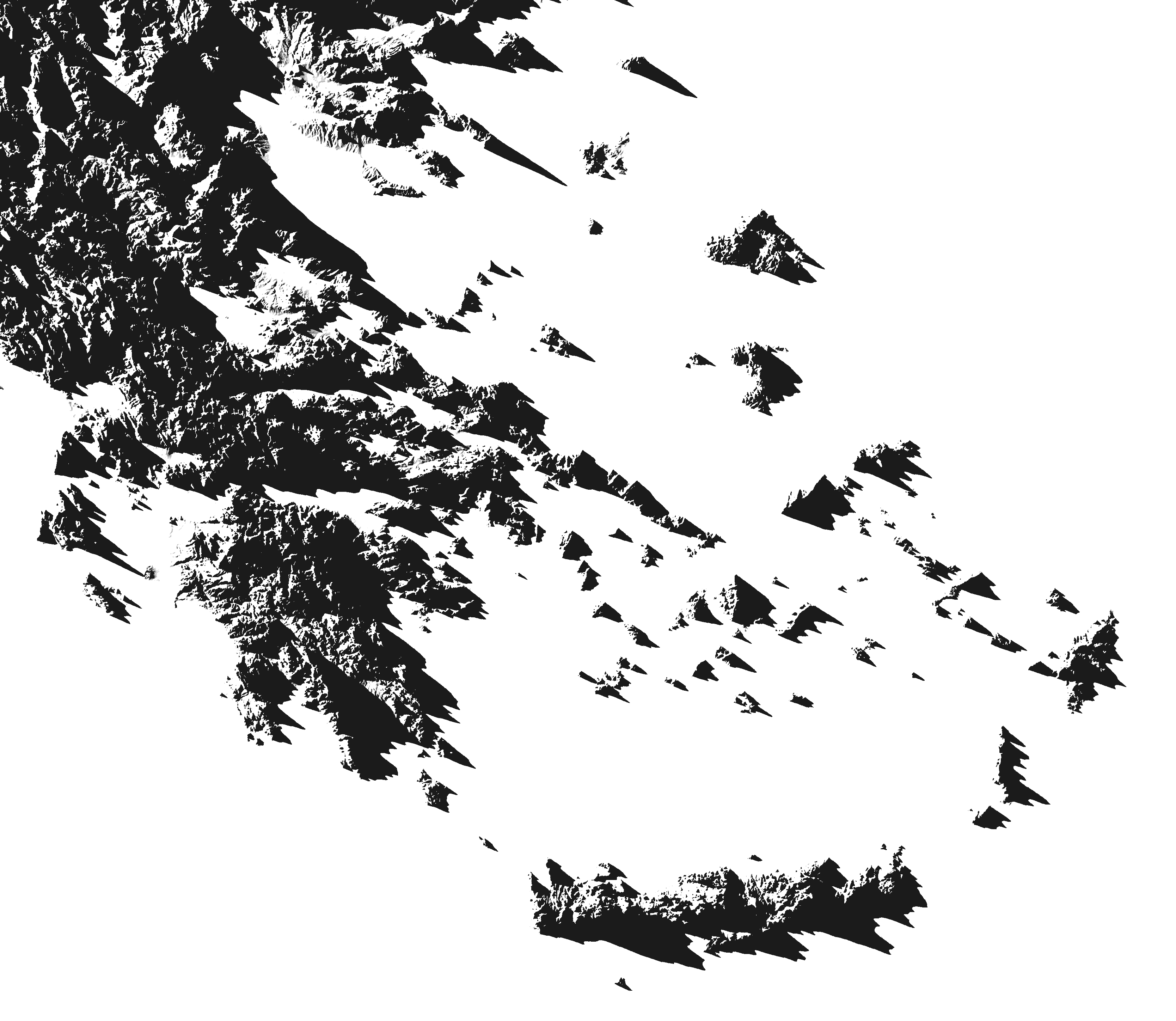
The Greek Islands
The United States
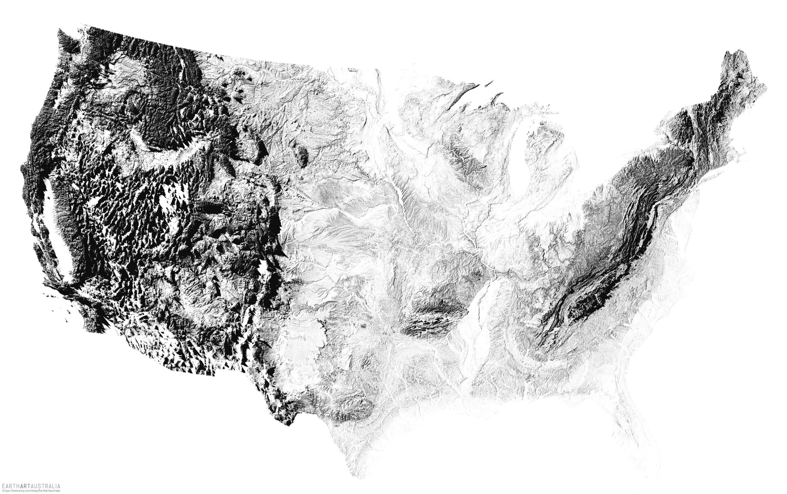
The continental United States

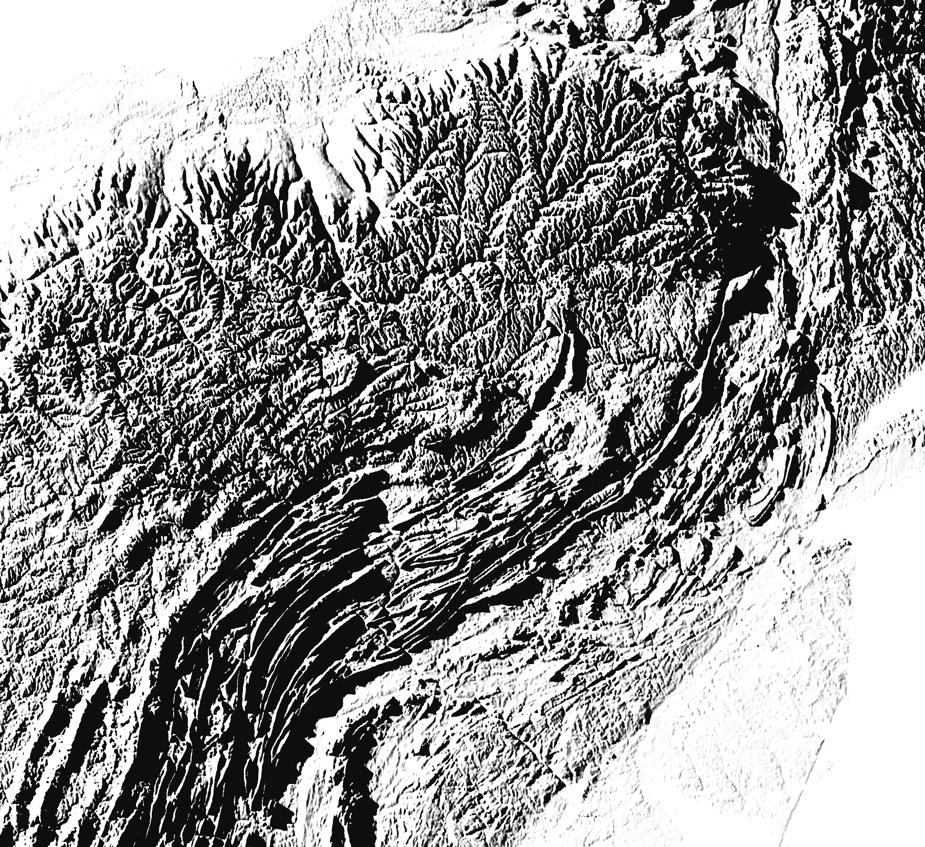
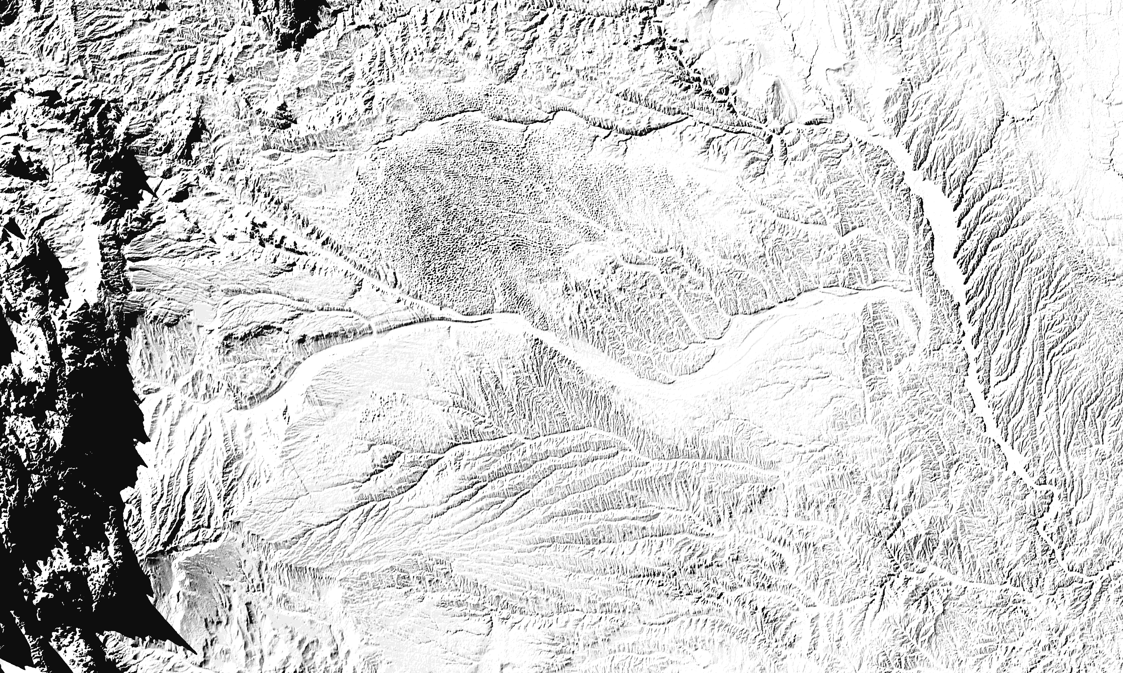
The Cascade Range, Columbia Plateau, and Rocky Mountains
Northern Appalachian Mountains
The Great Plains
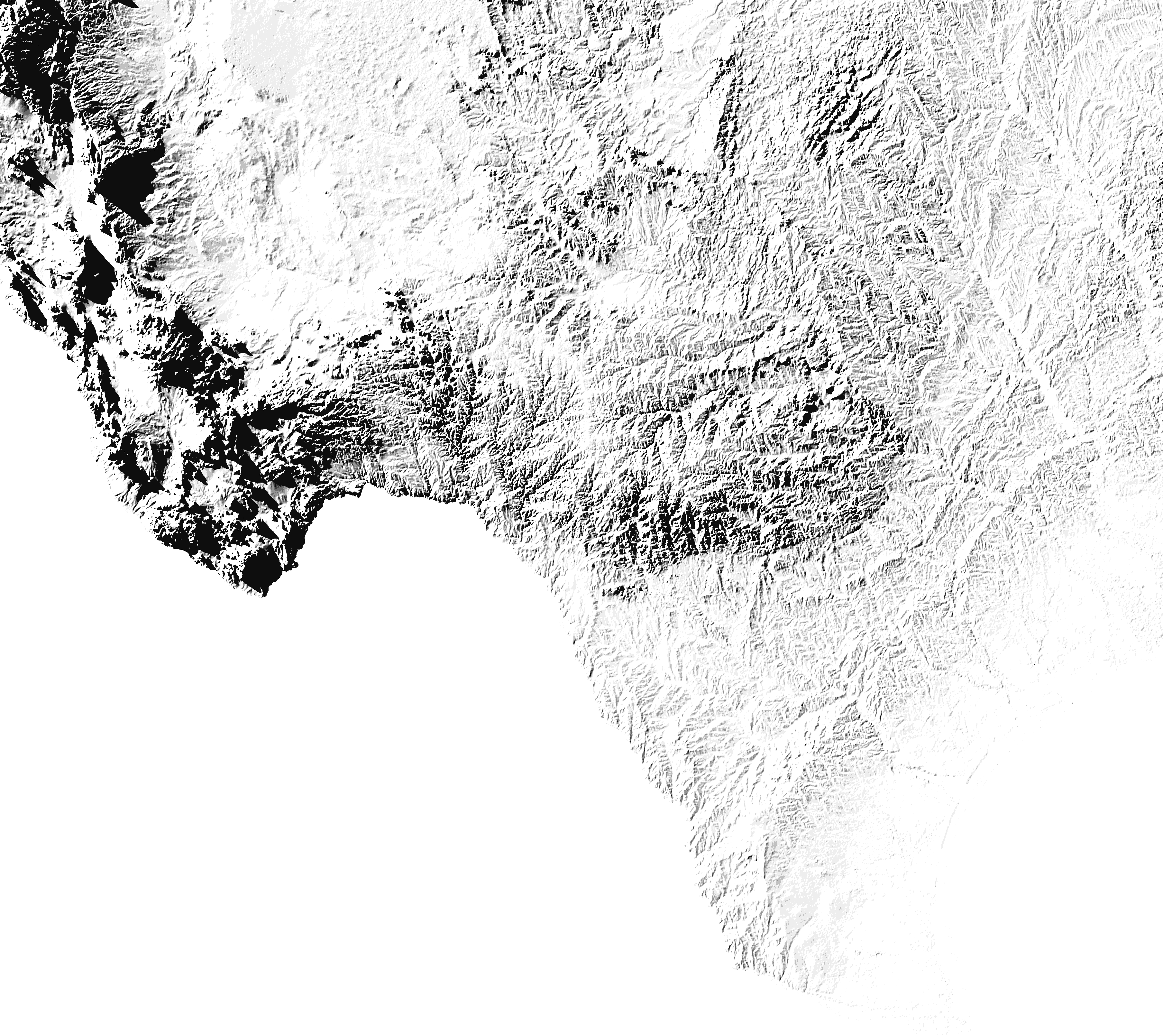
South Texas
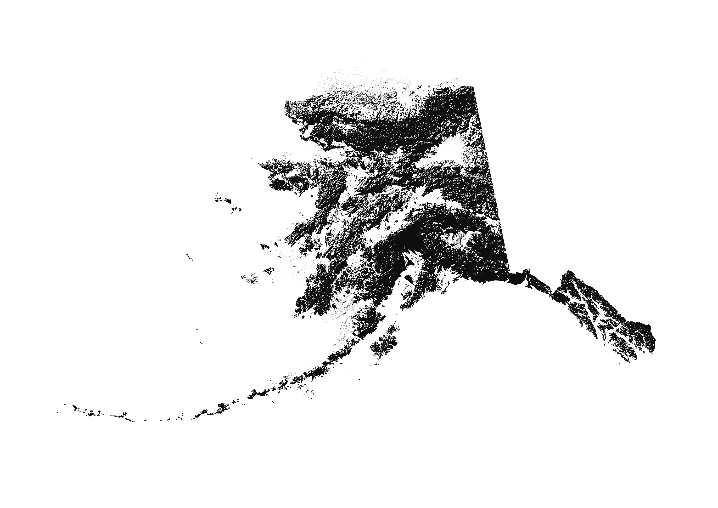
Alaska
[Seeker]