Space may be called the “final frontier” but what about unexplored areas that are on our very own Earth? The National Oceanic and Atmospheric Administration (NOAA) has been using the Okeanos Explorer to document uncharted waters since 2010 and it’s off to do it again, this time at the Pacific Remote Islands Marine National Monument.
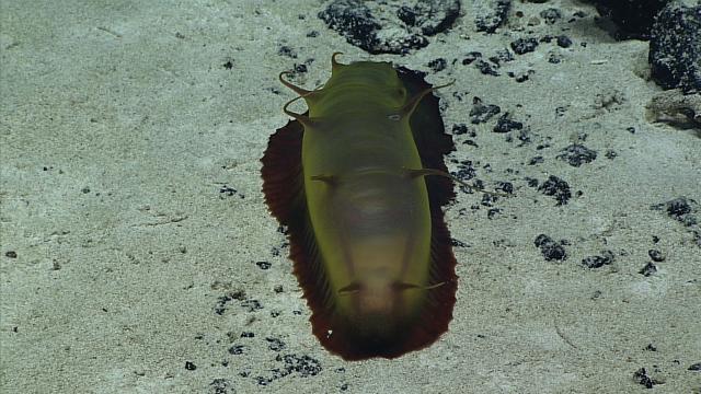
Maybe a sea cucumber? Image: NOAA Office of Ocean Exploration and Research.
The expedition started July 27 and will go until August 19, where it plans to start in Apra Harbour, Guam and conclude at Kwajalein Atoll in the Marshall Islands. Using a remotely-operated vehicle, the team hopes to observe and map areas near the Wake Atoll and will focus on depths between 250m and 6000m.
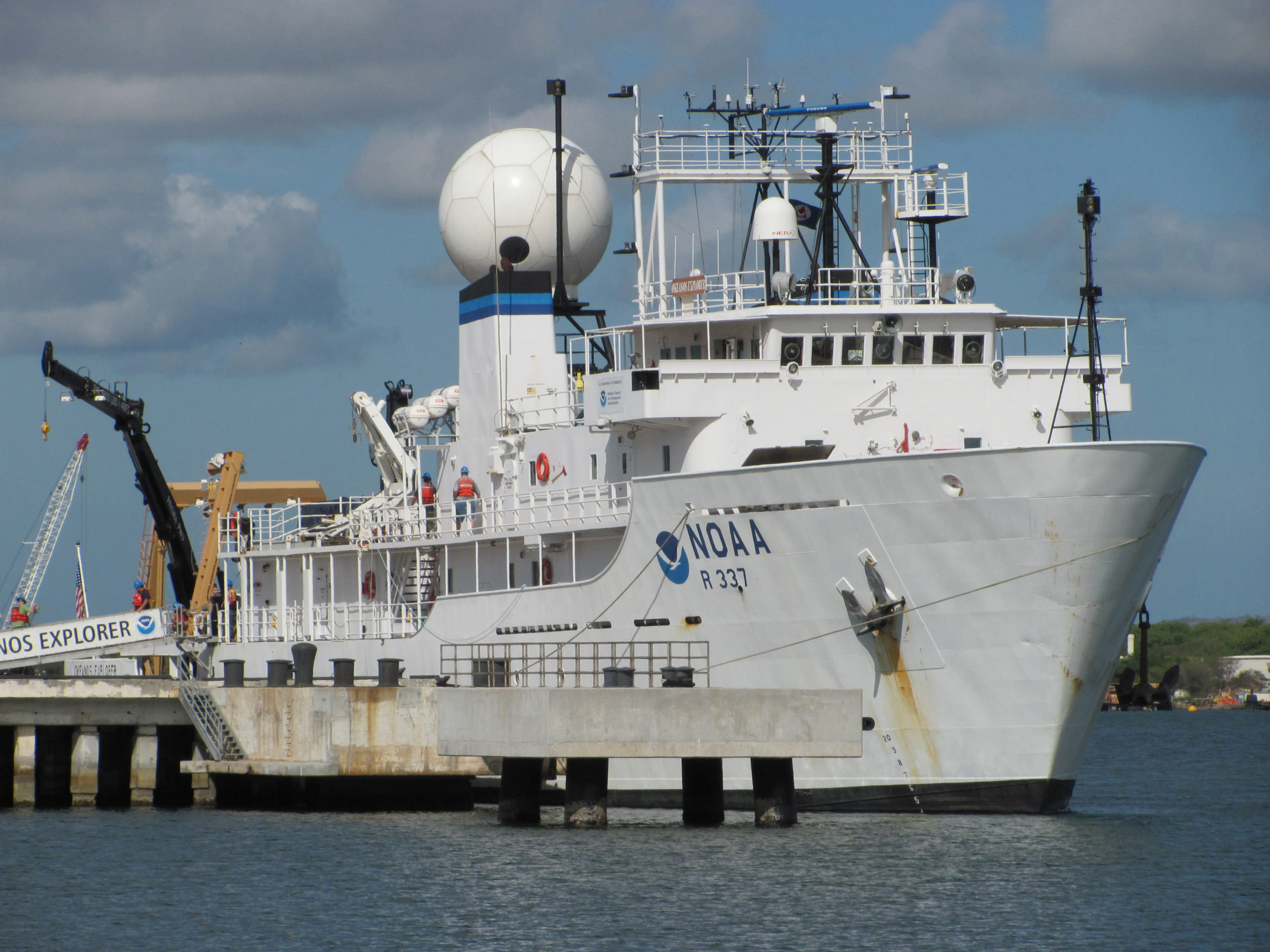
The Okeanos Explorer. Image: NOAA Office of Ocean Exploration and Research
According to the explorer’s Twitter, researchers on the mission will also observe guyots, which are a geological phenomenon where seamounts reach the surface, get their tops eroded, and then sink back down into the ocean. Scientists say that guyots, which have flat tops, present a biological diversity rarely seen in other areas and are important to study if we want to minimise the human impact on marine life.
According to the NOAA, the first dive was successful and the next one is scheduled for Sunday at 5:00pm EDT (along with all dives going forward, weather permitting). The mission map is below, where you can see the depths scientists expect to reach.
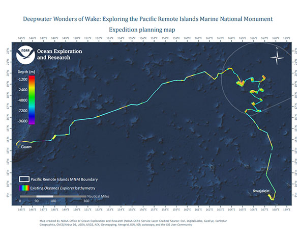
Image: NOAA Office of Ocean Exploration and Research, Deepwater Wonders of Wake.
And the best part? You can watch them all live. You can watch the live stream from multiple angles over at the NOAA website or on Camera #1, which you can check out below. Who knows what you’ll see on the way.
[DeepSeaNews via NOAA]
