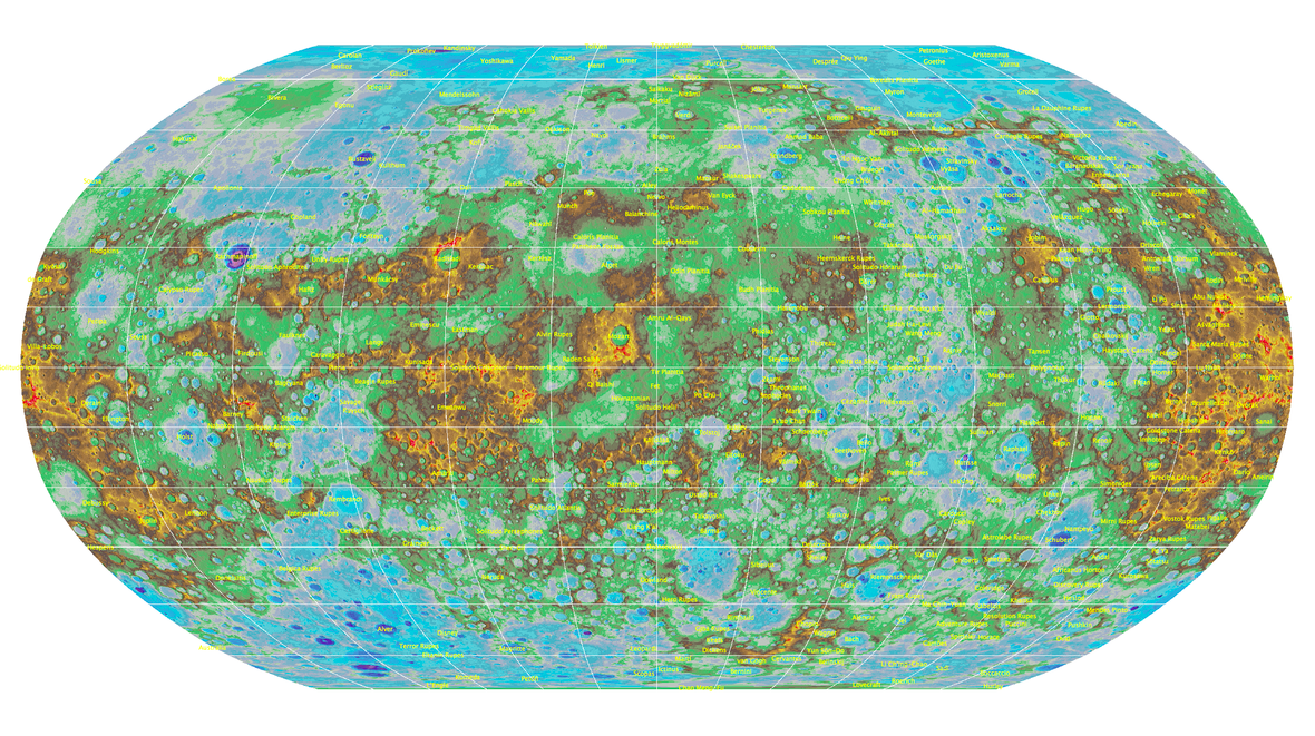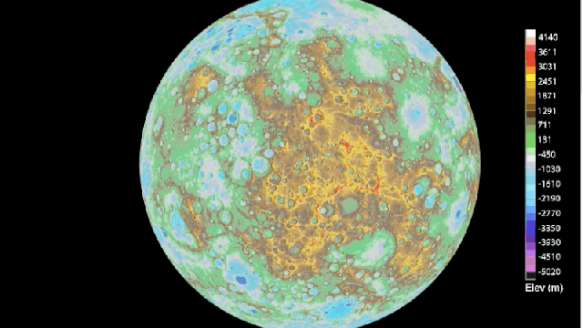
The USGS has released this new, incredibly detailed map of Mercury. It’s the first time the features on the surface of the planet have been depicted so completely.
The map, which includes up-close sketches of the craters and volcanoes dotting the terrain of the planet, was created by the USGS using data from NASA’s MESSENGER mission. We’ve been seeing a lot of topographical maps of other planets lately, especially Mars, which was recently mapped out by the UK’s Ordnance Survey. Until very recently, we just didn’t have the data to make such detailed maps of other planets.
We’re closer than ever to landing and living on a planet besides earth. Maps like these are a way of imagining the surface of a foreign body, and what it might be like to drive or walk over its surface. Essentially, we’re making roadtrip maps for all the places we imagine our travels will take us in the not-too-distant future.