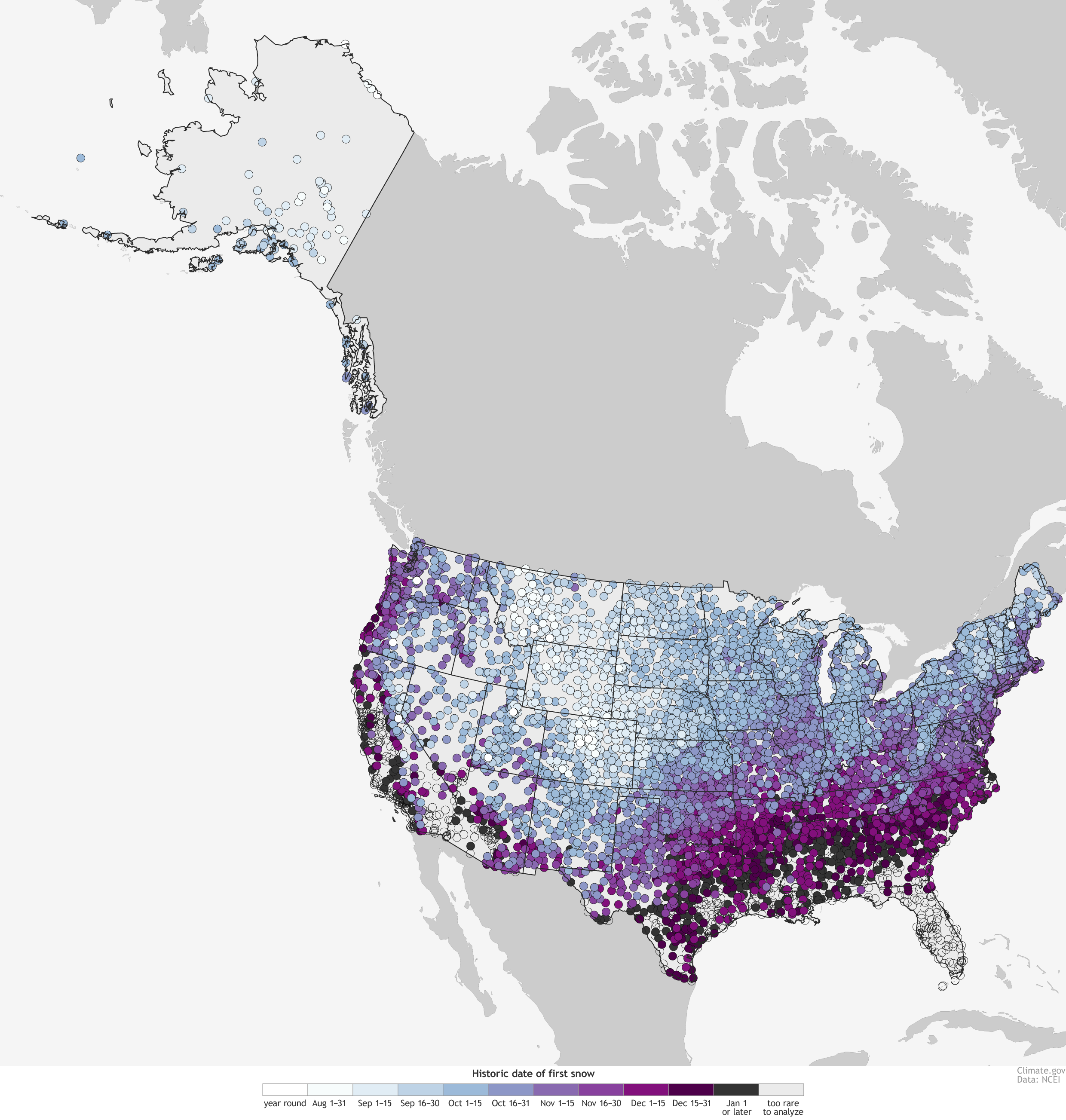
A heatwave is keeping most of the US toasty right now, but the National Oceanic and Atmospheric Administration says they’re all living in denial — winter is coming, and it has a data visualisation to prove it.
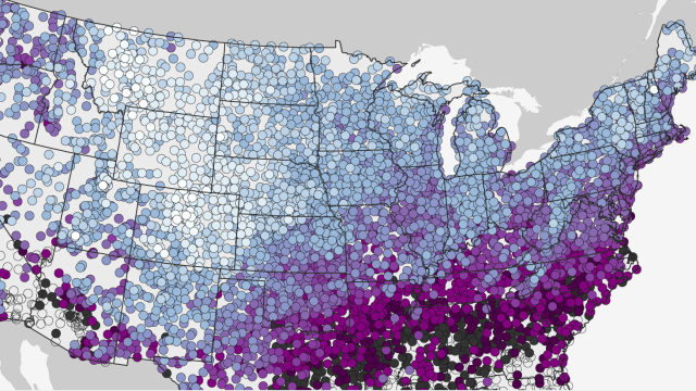
Deke Arndt, the Climate Monitoring Branch Chief at the NOAA, put together this harrowing little piece of data design to show when most places in the US have a 50% chance of having at least some snow, based on 30 years of data starting in the 1980s.

Basically, a huge swath of the country is due for snow soon, if they haven’t seen accumulation. But while the unseasonably warm heat combined with late snowfall dates in some areas seem like great indicators of climate change, Arendt notes that snow alone is just not a great indicator of climate trends because it’s just so rare in the US:
Snow, relatively speaking, is a pretty rare thing for almost all of the contiguous United States, even during winter. We record temperature every day, and that sizable collection of data provides a robust statistical base for detecting trends over time. But snow, for most places, even during a snowy winter, only occurs on a limited number of days each year. The less data there are, the harder it is to detect a change over time.
For a clearer picture of climate change, look at any number of other data sets — like this one, or this one, or this one — showing how it’s changing our world.
