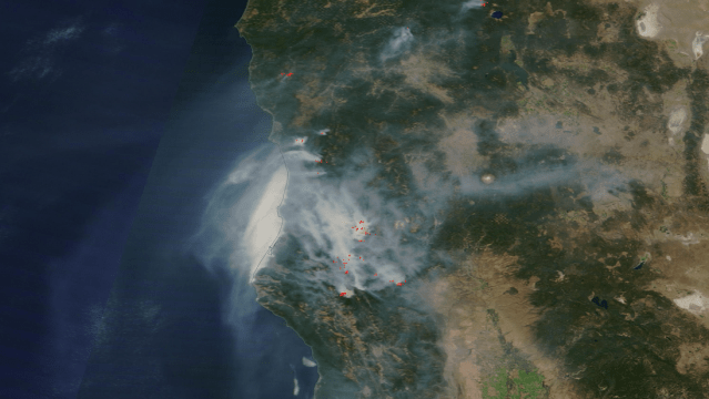
NASA’s Moderate Resolution Imaging Spectroradiometer, or MODIS, records what’s happening on the surface of the Earth every day or two. That means recording dust storms, hurricanes, typhoons — and, as was the case this week, a thick layer of smoke over California.
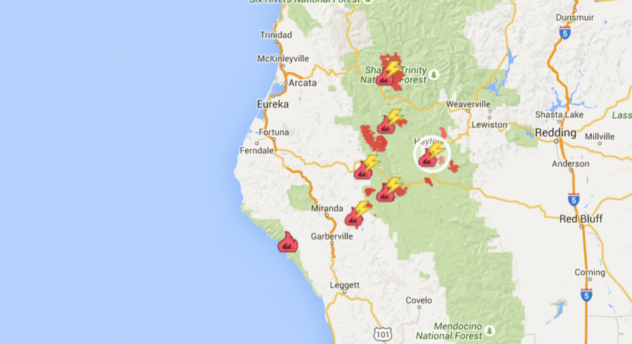
This image was captured on Monday, and shows brown smoke drifting over the coastline of northern California — where multiple fires are burning right now. Most of these fires were caused not by humans, but by lightning strikes on July 30th, according to InciWeb. How can a state beset by drought have so much lightning? According to the California Weather blog, thunderstorms caused by “upper-level” moisture over the Pacific dropped a tiny bit of moisture but enough lightning to spur many, many new fires. It’s an unlucky even for a state already struggling with wildfire season.
NASA actually maintains a specific site dedicated to images of “Fire & Smoke,” pulling high-res satellite data on areas of the West Coast and the world at large from MODIS. You can check it out here.
[NASA]