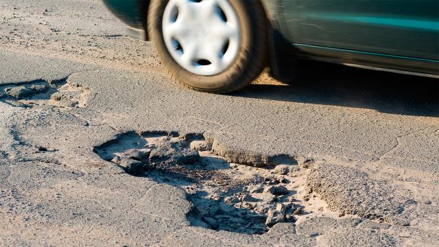
Potholes are more than just a driving annoyance, they can actually damage a vehicle. So in addition to providing traffic warnings, Google now wants to use a car’s GPS navigation system to detect potholes on a road and use that info to plot a more comfortable route to a destination.
Hitting a particularly nasty pothole can throw off a vehicle’s steering alignment, or cause even worse damage. But they can also result in slower traffic as cars try to sneak around them on a busy road. So Google has filed a patent for a system that automatically monitors and reports on road quality, allowing the company to create a database of the smoothest roads in a city for improved navigation. And presumably, for also making it easier for Google’s tiny autonomous cars to get around.
The vast majority of vehicles on the road already come with some sort of GPS-based navigation system, and when connected to motion sensors mounted somewhere in the vehicle, the devices could be used to collect info on where the vehicle is being bounced around, which indicates the presence of a pothole.
The system could easily be smart enough to ignore motion sensor data from a vehicle that’s driving off-road, based on its location. And as hundreds of vehicles report in, a fairly accurate map of the most pothole-riddled streets in a city could be accumulated, allowing Google Maps to provide a faster and smoother, route to a destination.
[Free Patents Online via Autoblog]
Picture: Shutterstock/