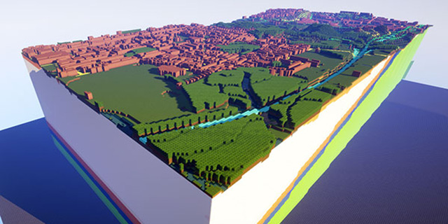
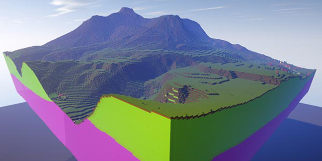
Someone at the British Geological Survey managed to convince a boss that engaging with the kids via Minecraft might be a good idea, so here we all are reading about accurate maps of West Thurrock, York and Ingleborough that have been built using existing national topography and geology databases.
The result is a collection of attractive rural landscapes, areas of natural beauty your child can now walk around from the comfort of his favourite screen in his own lounge or bedroom. The Minecraft maps are supplied in two formats, one showing just the geology of the areas and another with the topography layered on top.
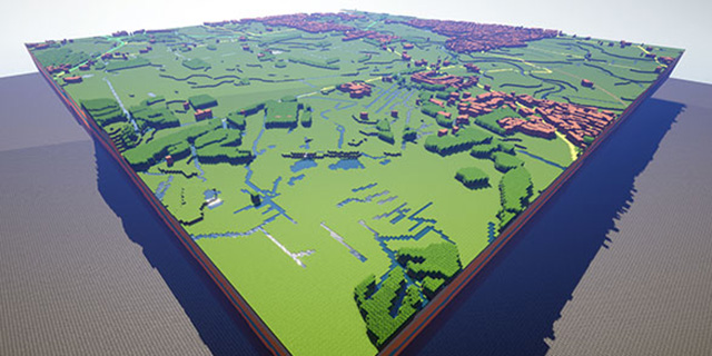
There’s more, too, with the map makers using glass bricks to represent features, meaning enthusiastic geologists can examine the chalks, river deposits, peats and other surface materials that make up (a small part of) our landscape. 10 square kilometres of West Thurrock have been mapped, with 50 km/sq of York and its surroundings rebuilt for your destruction.
[British Geological Survey]