Late last week, the European Space Agency lofted its Sentinel-2A satellite into orbit. Now, just four days later, it’s started beaming its first images back to Earth.
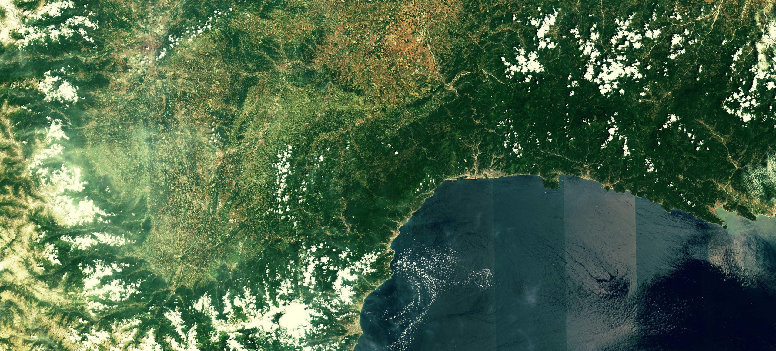
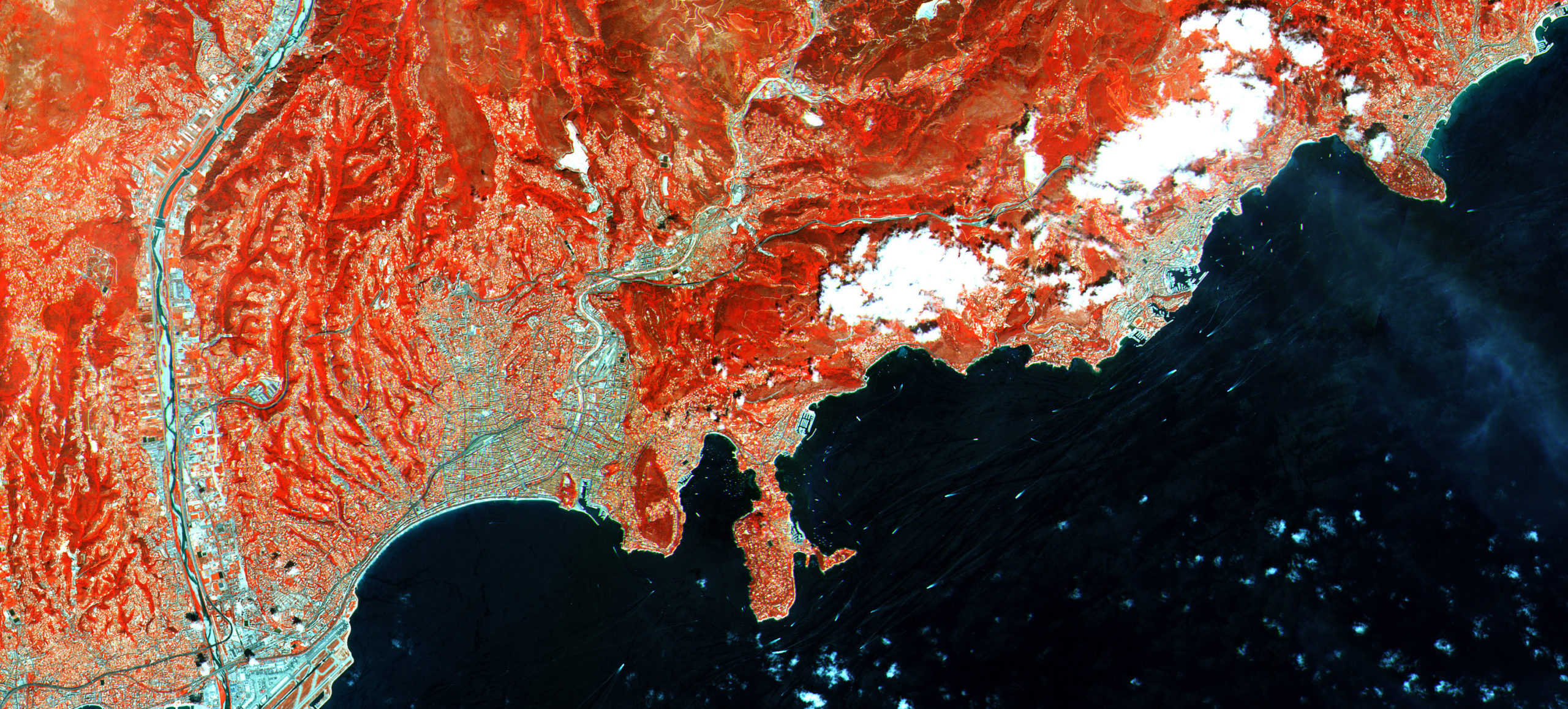
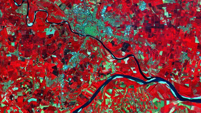
Part of the ESA’s Copernicus environmental monitoring program, the satellite provides images using a variety of multi-spectral instruments in amazing detail. Its sensors have a resolution that provide images where every pixel corresponds to just 10m on the surface of the planet. So far, it’s acquired a strip of images of our planet that starts in Sweden, passing through central Europe and the Mediterranean, finally ending in Algeria. At the moment the instruments aboard the satellite are still being calibrated, but the images they’re producing are still impressive.
Here, you can see an infrared images of the Po Valley in Italy (above), a visible light image of Northwest Italy and southern France (below), and another infrared image of the French Riviera (bottom).
[ESA]