An Aerial Photo Of The Western Antarctic Ice Sheet
An Aerial Photo Of The Western Antarctic Ice Sheet

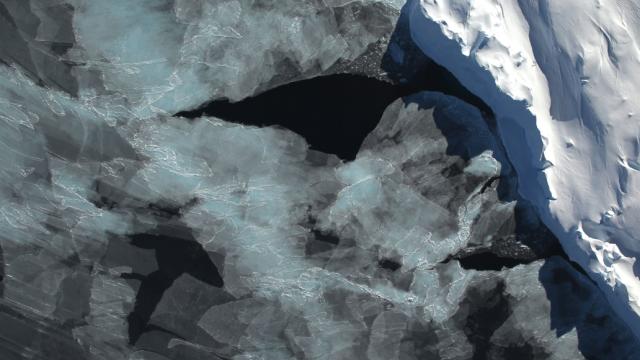
Briefly: Newly formed sea ice in the Bellingshausen Sea next to an iceberg on November 5, 2014. NASA’s Operation IceBridge took this aerial photograph of a calving front of the Western Antarctic ice sheet on a science flight out of Punta Arenas, Chile. The flight plan was designed to collect data on changes in ice elevation along the coast. [NASA/Digital Mapping System]


The Cheapest NBN 50 Plans

It’s the most popular NBN speed in Australia for a reason. Here are the cheapest plans available.

At Gizmodo, we independently select and write about stuff we love and think you'll like too. We have affiliate and advertising partnerships, which means we may collect a share of sales or other compensation from the links on this page. BTW – prices are accurate and items in stock at the time of posting.