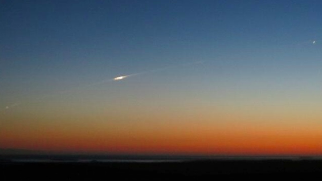
At the start of this week, the European Space Agency’s Gravity Field and Steady-State Ocean Circulation Explorer satellite (GOCE) fell to Earth. This is what it looked like as it happened.
This image was captured by Bill Chater from the Falklands at 9.20pm local time on November 11. Bill explained that “driving southwards at dusk, it appeared with bright smoke trail and split in two before splitting again into more and going on north.”
It doesn’t look much from this distance, perhaps, but the satellite weighed in at over 900kg before it re-entered the Earth’s atmosphere. Now gone for good, GOCE spent four years mapping Earth’s gravity with unrivalled precision. So long, GOCE; you made some very pretty maps. [ESA]
Picture: Bill Chater