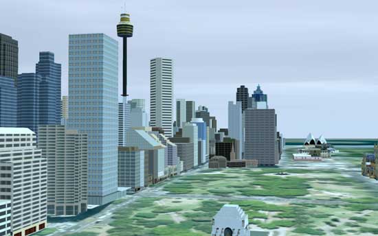
 You know what’s been missing from GPS mapping? Highly detailed 3D renders of the buildings you’re driving past when you’re driving through the city. Well, that or unicorn riding fairies. Whereis have just announced that they’re going to be showing off the 3D models of Sydney and Melbourne in upcoming devices that use their maps.
The idea is to help create a familiar setting for when you’re driving through an unfamiliar city. Or something like that anyway. The first device to boast the feature that is the Uniden TRAX 5000, which hits shelves next week. It’s Sydney and Melbourne only at the moment, but there are plans for Brisbane, Perth, plus Auckland and Wellington in NZ.
I can’t say this particular feature has me ready to upgrade my satnav any time soon. How about you?